

Bailadila Mountains
General information
-
Ideal Duration:
1 DayPlace Type:
Nature & IndustrialEntry Fees:
Mine Entry: Generally free but requires a mandatory entry permit from the NMDC office for security reasons.
Photography Permit: Separate permission may be needed for professional cameras inside the high-security mining zones. ...Mine Entry: Generally free but requires a mandatory entry permit from the NMDC office for security reasons.
Photography Permit: Separate permission may be needed for professional cameras inside the high-security mining zones.Timing:
Regular Timings: Open from 09:00 AM to 05:00 PM for visitors; strictly closed during night hours.
Ideal Visit Time: Early mornings between 08:00 AM and 10:00 AM are best for clear views and pleasant weather. ...Regular Timings: Open from 09:00 AM to 05:00 PM for visitors; strictly closed during night hours.
Ideal Visit Time: Early mornings between 08:00 AM and 10:00 AM are best for clear views and pleasant weather.Special Events:
NMDC Foundation Day: Celebrated with local cultural programs and industrial exhibitions by the mining community.
Bastar Dussehra: Nearby regions celebrate this 75-day long festival, which influences the mountain's tribal culture. ...NMDC Foundation Day: Celebrated with local cultural programs and industrial exhibitions by the mining community.
Bastar Dussehra: Nearby regions celebrate this 75-day long festival, which influences the mountain's tribal culture.Best Photo Spots:
Kailash Nagar Peak: Offers a 360-degree view of the iron-rich landscape and the blue-tinted ore deposits.
Ghat Road Viewpoints: Several points along the road provide perfect frames of the deep valleys and mining pits. ...Kailash Nagar Peak: Offers a 360-degree view of the iron-rich landscape and the blue-tinted ore deposits.
Ghat Road Viewpoints: Several points along the road provide perfect frames of the deep valleys and mining pits.Photo Gallery
Things To Do
-
Mine Visit: Witness the massive open-cast mining operations with prior permission from the NMDC authorities.
Nature Trekking: Explore the dense forest trails that surround the mining zones for a glimpse of local wildlife.
Scenic Drive: Take a drive along the serpentine ghat roads for a bird’s eye view of the entire valley.
Photography: Capture the contrast between the deep red iron earth and the lush green forest canopy during sunset.
Bird Watching: The high-altitude forests are home to several endemic bird species of the Bastar region.
Cloud Watching: During the monsoon, the peaks are often enveloped in thick, moving clouds, creating a magical atmosphere.
Industr...Mine Visit: Witness the massive open-cast mining operations with prior permission from the NMDC authorities.
Nature Trekking: Explore the dense forest trails that surround the mining zones for a glimpse of local wildlife.
Scenic Drive: Take a drive along the serpentine ghat roads for a bird’s eye view of the entire valley.
Photography: Capture the contrast between the deep red iron earth and the lush green forest canopy during sunset.
Bird Watching: The high-altitude forests are home to several endemic bird species of the Bastar region.
Cloud Watching: During the monsoon, the peaks are often enveloped in thick, moving clouds, creating a magical atmosphere.
Industrial Study: Learn about the complex logistics of transporting iron ore via the world's highest broad-gauge railway line.
Information
-
Why Famous:
Mineral Wealth: It is famous for containing 14 massive reserves of high-grade hematite iron ore.
Highest Peak: The range hosts the highest point in Chhattisgarh, offering a commanding view of the Deccan Plateau.Mineral Wealth: It is famous for containing 14 massive reserves of high-grade hematite iron ore.
Highest Peak: The range hosts the highest point in Chhattisgarh, offering a commanding view of the Deccan Plateau.
Ox Shape: Its distinctive geological formation resembling an ox's hump is a natural wonder. -
Architecture:
Industrial Design: The architecture here is primarily industrial, featuring massive crushing plants and conveyor belts.
Hill Engineering: The 22-kilometer ghat road is an engineering marvel designed to support heavy mineral transport vehicl...Industrial Design: The architecture here is primarily industrial, featuring massive crushing plants and conveyor belts.
Hill Engineering: The 22-kilometer ghat road is an engineering marvel designed to support heavy mineral transport vehicles.
Dimensions: The mountain range stretches approximately 70 KMS in length and 25 KMS in width. -
How To Reach:
By Air: The nearest airport is Jagdalpur Airport (130 KMS), though Raipur Airport (400 KMS) offers better connectivity.
By Train: Kirandul Railway Station is the terminus for the scenic Visakhapatnam-Kirandul passenger train line through th...By Air: The nearest airport is Jagdalpur Airport (130 KMS), though Raipur Airport (400 KMS) offers better connectivity.
By Train: Kirandul Railway Station is the terminus for the scenic Visakhapatnam-Kirandul passenger train line through the Eastern Ghats.
By Road: Well-connected by NH-163, with regular bus services running from Dantewada, Jagdalpur, and Raipur.
By Local Transport: Shared autos and private taxis are available in Kirandul town for local mountain commutes. -
Weather and Best Time to Visit:
Winter Season: October to March is the peak season with temperatures ranging between 10°C and 25°C.
Monsoon Season: July to September offers lush greenery, though heavy rains can make the ghat roads slippery.
...Winter Season: October to March is the peak season with temperatures ranging between 10°C and 25°C.
Monsoon Season: July to September offers lush greenery, though heavy rains can make the ghat roads slippery.
Time of Day: Morning hours provide the best visibility before the afternoon haze sets in over the mines. -
Near Tourist Places:
Kailash Nagar (12 KMS), Aakash Nagar (25 KMS), Dholkal Ganesh (30 KMS), Dantewada (40 KMS), Barsur (70 KMS), Chitrakote (120 KMS), Tirathgarh (110 KMS), Kadampal Dam (15 KMS), Malleshwara Temple (35 KMS), Indravati River (75 KMS).
Tourism Tips
-
Health & Safety: Carry a mask as the mining areas can be very dusty; stay away from the edge of mine pits.
Packing: Wear sturdy trekking shoes and carry a light jacket, as the hilltop can be significantly cooler than the town.Health & Safety: Carry a mask as the mining areas can be very dusty; stay away from the edge of mine pits.
Packing: Wear sturdy trekking shoes and carry a light jacket, as the hilltop can be significantly cooler than the town.
Accommodation: Stay at the NMDC guest houses or local hotels in Kirandul for the best access to the peaks.
Permits: Ensure you apply for mine visit permits at least 24 hours in advance to avoid disappointment at the gates.
Reviews
FAQs
Kirandul Itineray And Cost:-
Bailadila Mountains Tourism:-
Information about New and Updated Locations() of Chhattisgarh Has Been Added :-
Card subtitle
Note:-
Information provided here in good Faith and for reference only.
All information and pictures will be updated soon, please keep visiting.
Near Places
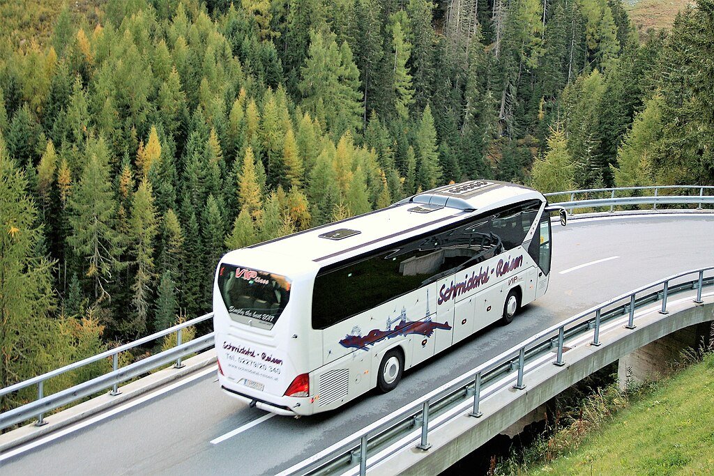
Bailadila Mountains
Some quick example text to build on the card title and make up the bulk of the card's content.
Go somewhere
Balle Waterfall
Some quick example text to build on the card title and make up the bulk of the card's content.
Go somewhere
Batissa Temple
Some quick example text to build on the card title and make up the bulk of the card's content.
Go somewhere
Dholkal Ganesh Temple
Some quick example text to build on the card title and make up the bulk of the card's content.
Go somewhere
Fulpad Waterfalls
Some quick example text to build on the card title and make up the bulk of the card's content.
Go somewhere
Handawada Waterfall
Some quick example text to build on the card title and make up the bulk of the card's content.
Go somewhere
Indul Jharna Waterfalls
Some quick example text to build on the card title and make up the bulk of the card's content.
Go somewhere
Jharalava Waterfall Jhirka
Some quick example text to build on the card title and make up the bulk of the card's content.
Go somewhere
Kadampal Tailing Dam
Some quick example text to build on the card title and make up the bulk of the card's content.
Go somewhere
Kailash Nagar Peak
Some quick example text to build on the card title and make up the bulk of the card's content.
Go somewherein Other Cities