


How To Reach Gadiya Mountain
How to Reach
By Train: The nearest major railway station is Raipur Junction (RPR), about 176. 7 KMS away. Take an auto or taxi from the station to the bus terminal, and then take a bus to Kanker. A direct taxi from the station is also available.
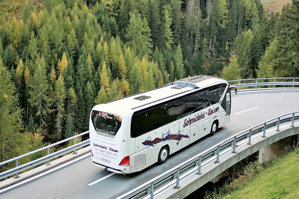
By Road: Gadiya Mountain is located directly in Kanker town, easily accessible via NH-30. Regular bus services and hired taxis are readily available from major cities like Raipur and Jagdalpur. The mountain is visible from the town center.
By Local Transport: Since it is only about 1 KM from the city center, it is easily reachable by a short walk (especially for morning exercise) or a very quick ride in a local auto-rickshaw or cycle-rickshaw. The base of the mountain is where the motorable road ends, and the trek begins. (Minimum completed)
Information about New and Updated Locations(484+) of Chhattisgarh Has Been Added :-
Card subtitle
Note:-
Information provided here in good Faith and for reference only.
All information and pictures will be updated soon, please keep visiting.
Near Places

Balaji Temple
Some quick example text to build on the card title and make up the bulk of the card's content.
Go somewhere
Budhapara Lake
Some quick example text to build on the card title and make up the bulk of the card's content.
Go somewhere
Charre Marre Falls
Some quick example text to build on the card title and make up the bulk of the card's content.
Go somewhere
Charre Marre Waterfall
Some quick example text to build on the card title and make up the bulk of the card's content.
Go somewhere
Dandak Cave
Some quick example text to build on the card title and make up the bulk of the card's content.
Go somewhere
Dev Dhara Picnic Spot
Some quick example text to build on the card title and make up the bulk of the card's content.
Go somewhere
Devni Dokri Dai Mandir
Some quick example text to build on the card title and make up the bulk of the card's content.
Go somewhere
Dudhawa Dam
Some quick example text to build on the card title and make up the bulk of the card's content.
Go somewhere
Dudhawa Dam River Gate
Some quick example text to build on the card title and make up the bulk of the card's content.
Go somewhere
Dudhawa River
Some quick example text to build on the card title and make up the bulk of the card's content.
Go somewhere