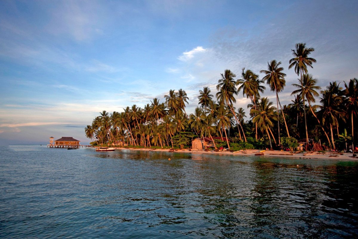
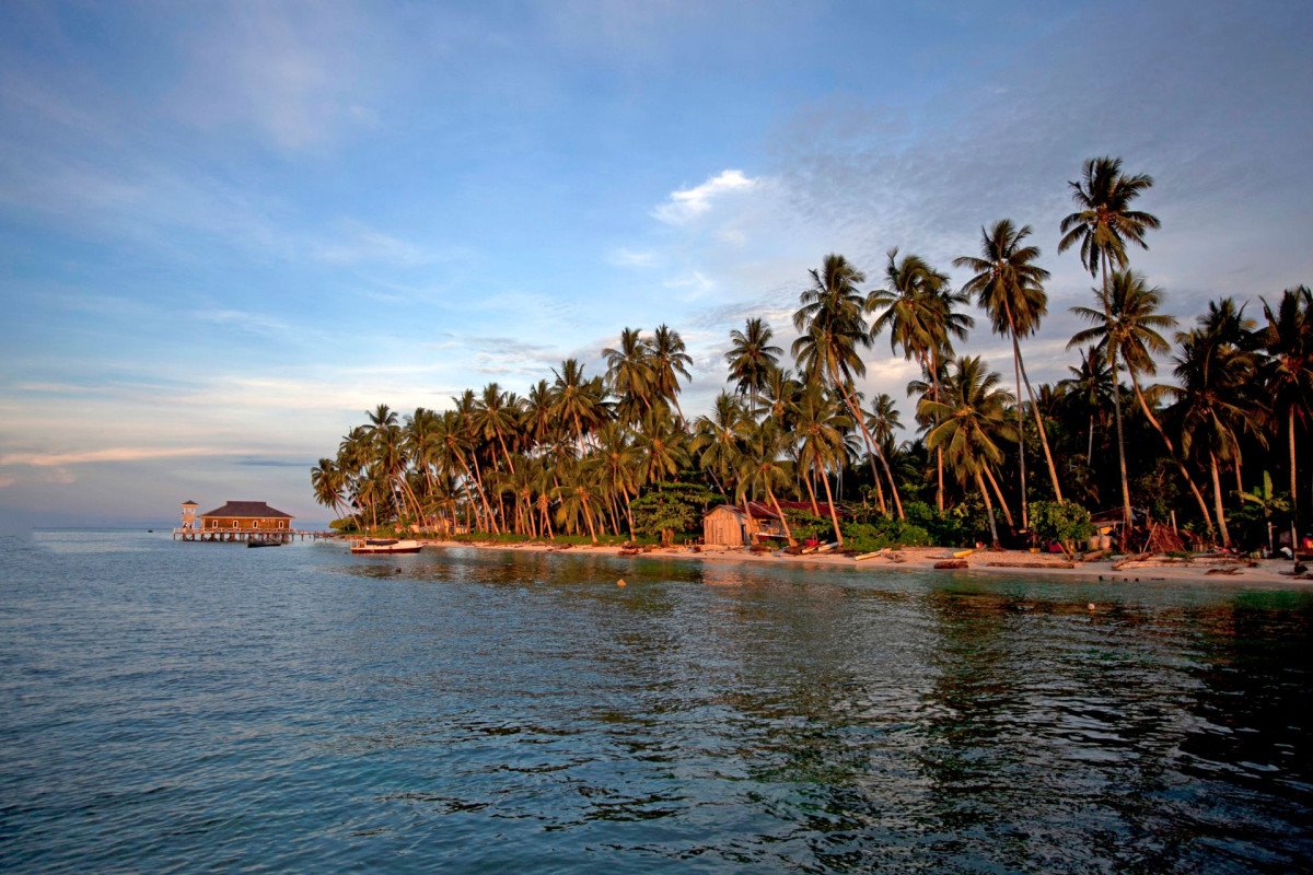
Kilthan Island Lighthouse
General information
-
Ideal Duration:
1-2 Hours (Including the climb and time for enjoying the panoramic view):Place Type:
Historical Landmark/Maritime StructureEntry Fees:
For Tourists on Packages: Entry is typically included in the mandatory Lakshadweep permit and tourist package cost.
Individual Entry: If visiting outside a package (for locals or permit holders), there is usually a minimal fee (e. g. , INR 2...For Tourists on Packages: Entry is typically included in the mandatory Lakshadweep permit and tourist package cost.
Individual Entry: If visiting outside a package (for locals or permit holders), there is usually a minimal fee (e. g. , INR 20-50) for maintenance, which is subject to administration rules. No significant high fee is typically associated with this government-maintained site.
Photography/Videography Fees: Sometimes, a nominal fee may be charged for professional cameras, but simple mobile phone photography is generally free.
Permit is Key: The essential entry requirement is the mandatory Lakshadweep permit from the Administration, without which access to Kiltan Island itself is not possible.Timing:
Regular Timings (Approx.
): 10:00 AM to 5:00 PM (Public access is often limited to a few hours during the day, subject to the DGLL staff's discretion and shift change).
Ideal Visit Time: Late afternoon (4:00 PM - 5:00 PM) to catch th...Regular Timings (Approx.
): 10:00 AM to 5:00 PM (Public access is often limited to a few hours during the day, subject to the DGLL staff's discretion and shift change).
Ideal Visit Time: Late afternoon (4:00 PM - 5:00 PM) to catch the stunning light quality and the sunset view from the base. Early mornings for a peaceful climb and cooler weather.Special Events:
DGLL Foundation Day: While not strictly tourist-focused, an event related to the Directorate General of Lighthouses and Lightships, particularly a day of public awareness or a local celebration of the tower’s anniversary (April 6), might involve local community activities ...DGLL Foundation Day: While not strictly tourist-focused, an event related to the Directorate General of Lighthouses and Lightships, particularly a day of public awareness or a local celebration of the tower’s anniversary (April 6), might involve local community activities or a short ceremony.
Local Youth & Safety Drills: Occasional mock drills or training sessions related to coastal security or maritime search and rescue often use the lighthouse as a coordination point, providing a glimpse into the island's critical security infrastructure.Best Photo Spots:
Panoramic View from the Top: The ultimate spot is the lantern gallery, offering a complete circle view of the island, the intense blue of the lagoon, and the deep blue of the open ocean.
The Sunrise Silhouette: The view from the eastern side...Panoramic View from the Top: The ultimate spot is the lantern gallery, offering a complete circle view of the island, the intense blue of the lagoon, and the deep blue of the open ocean.
The Sunrise Silhouette: The view from the eastern side of the tower at dawn, capturing the morning light over the sea with the tower’s structure dramatically outlined.
The Lantern Room Detail: Close-up shots of the powerful light apparatus and the Fresnel lens (if present) to capture the engineering marvel inside the tower's heart.Photo Gallery
Things To Do
-
Climb to the Lantern Room: Ascend the tower (if access is permitted) for the breathtaking view of the reef, lagoon, and the storm beaches at the northern and southern ends. This is the must-do activity for all visitors, offering unparalleled photographic opportunities.
Sunset Viewing from the Base: Position yourself near the lighthouse base in the late afternoon to witness a spectacular sunset over the Arabian Sea, with the tower silhouetted against the vibrant sky.
Birdwatching Near the Tip: The isolated location, especially towards the southern tip, attracts various migratory and local seabirds, making it a peaceful spot for bird enthusiasts.
Photography and Documentation: Capture the iconic structure from different angles—from the base looking up, from a di...Climb to the Lantern Room: Ascend the tower (if access is permitted) for the breathtaking view of the reef, lagoon, and the storm beaches at the northern and southern ends. This is the must-do activity for all visitors, offering unparalleled photographic opportunities.
Sunset Viewing from the Base: Position yourself near the lighthouse base in the late afternoon to witness a spectacular sunset over the Arabian Sea, with the tower silhouetted against the vibrant sky.
Birdwatching Near the Tip: The isolated location, especially towards the southern tip, attracts various migratory and local seabirds, making it a peaceful spot for bird enthusiasts.
Photography and Documentation: Capture the iconic structure from different angles—from the base looking up, from a distance to show its scale against the palms, and the panoramic shots from the top.
Learning about Marine Safety: Engage with the security or local personnel (if available and appropriate) to learn about the lighthouse's operation and its critical function in maritime safety in the Laccadive Sea.
Walking Meditation: The quiet, serene nature of the southern tip is perfect for a peaceful walk or a moment of reflection, away from the main settlement, connecting with the natural rhythm of the island.
Explore the Surrounding Beach: Walk along the storm beach near the lighthouse, observing the unique coral-crushed white sand and the wave patterns that led to the structure's existence.
Information
-
Why Famous:
Navigational Necessity: The primary fame is derived from its critical role as a navigational aid, preventing wrecks along a busy international trade route, a story that resonates with the island's ancient commercial past.
Highest Vantage Point:<...Navigational Necessity: The primary fame is derived from its critical role as a navigational aid, preventing wrecks along a busy international trade route, a story that resonates with the island's ancient commercial past.
Highest Vantage Point: It is the tallest accessible point on the island, offering a rare, 360-degree panoramic view of the turquoise lagoon, coral reefs, surrounding ocean, and the entire stretch of the narrow island. This unique perspective is the biggest draw for tourists.
Symbol of Modernization: Its construction and subsequent modernization from PV to metal halide lighting in 1999 mark a significant chapter in the island's infrastructural development. -
Architecture:
Structural Details of the Lighthouse: The lighthouse is a sturdy tower built with CC Blocks (Cement Concrete Blocks). Its height is officially cited as 44 metres (approx. 144 feet) above mean sea level, or a structural height of 41 metres. This makes it one of the tallest...Structural Details of the Lighthouse: The lighthouse is a sturdy tower built with CC Blocks (Cement Concrete Blocks). Its height is officially cited as 44 metres (approx. 144 feet) above mean sea level, or a structural height of 41 metres. This makes it one of the tallest structures on the island. The foundation is engineered to withstand the strong cyclonic conditions prevalent in the Arabian Sea region.
Internal Architecture and Function: The internal design typically involves a central spiral staircase or ladder system leading up to the lantern room. The lantern room houses the powerful light source, which, since 1999, has been a metal halide lamp, a highly efficient system for projecting light over vast nautical distances. The characteristic of the light is crucial for mariners' identification, and the apparatus must be finely tuned. The original system used PV equipment. The diameter of the base is estimated to be around 5-7 metres, tapering towards the top. The white and red bands are a common maritime signal for daytime identification. The architecture is purely functional, designed for maximum visibility and structural integrity, reflecting the utilitarian needs of navigation rather than elaborate decoration. The compound often includes residential quarters for the lighthouse keepers, though access is restricted. The tower's robust construction is a prime example of mid-20th-century Indian maritime engineering. -
How To Reach:
By Air: Fly to Agatti Aerodrome (AGX) from Kochi (COK) (Kerala). The flight is approximately 1. 5 hours. From Agatti, take a government-operated passenger boat/ferry to Kiltan Island; the journey duration depends on the vessel and sea conditions (approx. 4-8 hours).
...By Air: Fly to Agatti Aerodrome (AGX) from Kochi (COK) (Kerala). The flight is approximately 1. 5 hours. From Agatti, take a government-operated passenger boat/ferry to Kiltan Island; the journey duration depends on the vessel and sea conditions (approx. 4-8 hours).
By Train: The nearest major railway station is Ernakulam Junction (ERS) in Kochi, Kerala. From Kochi, proceed to the Kochi Port for the ship journey.
By Road: The island is not accessible by road from the mainland. Road transport ends at Kochi Port.
By Local Transport: Once on the island, the lighthouse is often within walking distance from the jetty or main settlement, or a short ride via a local tricycle or bicycle. Inter-island travel is via government ferries and high-speed vessels. -
Weather and Best Time to Visit:
Different Seasons: October to March (Winter/Fair Season) is the absolute best time to visit due to calm seas, clear skies, and pleasant temperatures (20°C - 30°C), perfect for climbing and boating. April to May (Summer) is hot and humid. June to September (Monsoon) is ge...Different Seasons: October to March (Winter/Fair Season) is the absolute best time to visit due to calm seas, clear skies, and pleasant temperatures (20°C - 30°C), perfect for climbing and boating. April to May (Summer) is hot and humid. June to September (Monsoon) is generally avoided due to rough seas and restricted travel.
Different Parts of the Day: Sunset Hours (approx. 4:30 PM - 6:30 PM) offer the most spectacular lighting for views and photography. Early morning (post-sunrise) is best for the climb to avoid the midday sun. -
Near Tourist Places:
Amini Island (51 KM NE), Chetlat Island (32 KM NW), Kavaratti Island (47 KM SW), Kadmat Island (55 KM South), Agatti Island (116 KM South), Bitra Island (70 KM NE), Kalpeni Island (Approx. 150 KM S), Minicoy Island (Approx. 300 KM S), Bangaram Island (125 KM SW), Kochi, Kerala (394 KM East):
Tourism Tips
-
Health & safety: Carry prescribed medication. Be mindful of dehydration in the tropical climate; carry sufficient water during the climb. Use reef-safe sunscreen.
Packing: Sturdy, comfortable footwear is essential for the climb. Carry a ...Health & safety: Carry prescribed medication. Be mindful of dehydration in the tropical climate; carry sufficient water during the climb. Use reef-safe sunscreen.
Packing: Sturdy, comfortable footwear is essential for the climb. Carry a wide-brimmed hat and sunglasses. A good camera with a zoom lens is recommended for capturing distant views.
Accommodation: Accommodation is extremely limited, often restricted to government guest houses or designated tourist huts. Book all lodging and permits well in advance through authorized tour operators.
Other: Lakshadweep is a restricted area; the entry permit is mandatory. Respect local culture and dress modestly, especially away from the beach. ATMs and credit card facilities are very limited; carry sufficient cash.
Reviews
FAQs
Kiltan Itineray And Cost:-
Kilthan Island Lighthouse Tourism:-
Other Places In Kiltan :-
Other States In India :-
Information about New and Updated Locations() of Lakshadweep Has Been Added :-
Card subtitle
Note:-
Information provided here in good Faith and for reference only.
Near Places

Coconut Plantation Viewpoint
Some quick example text to build on the card title and make up the bulk of the card's content.
Go somewhere
Eastern Coastline
Some quick example text to build on the card title and make up the bulk of the card's content.
Go somewhere
Kiltan Fishing Zone
Some quick example text to build on the card title and make up the bulk of the card's content.
Go somewhere
Kiltan Guest House/Cottages Area
Some quick example text to build on the card title and make up the bulk of the card's content.
Go somewhere
Kiltan Island Harbour
Some quick example text to build on the card title and make up the bulk of the card's content.
Go somewhere
Kiltan Island Main Town
Some quick example text to build on the card title and make up the bulk of the card's content.
Go somewhere
Kiltan Lagoon
Some quick example text to build on the card title and make up the bulk of the card's content.
Go somewhere
Kiltan Lighthouse
Some quick example text to build on the card title and make up the bulk of the card's content.
Go somewhere
Kilthan Island Lighthouse
Some quick example text to build on the card title and make up the bulk of the card's content.
Go somewhere
Kulikkara
Some quick example text to build on the card title and make up the bulk of the card's content.
Go somewhere
Local Food Stalls Area
Some quick example text to build on the card title and make up the bulk of the card's content.
Go somewhere
Local Handicraft Production Area
Some quick example text to build on the card title and make up the bulk of the card's content.
Go somewhere
Local Kiltan Mosque
Some quick example text to build on the card title and make up the bulk of the card's content.
Go somewhere
Main Path/Road of Kiltan
Some quick example text to build on the card title and make up the bulk of the card's content.
Go somewherein Other Cities