
Kuwa Pani Mountain Range
General information
-
Ideal Duration:
05 to 07 HoursPlace Type:
Mountain Range / Nature TrekEntry Fees:
Access Fees: Currently, there is no formal entry fee to visit the Kuwa Pani Mountain Range, as it is an open natural landscape; however, hiring a local tribal guide is highly recommended for safety and navigation.
Guide Charges: Local guide...Access Fees: Currently, there is no formal entry fee to visit the Kuwa Pani Mountain Range, as it is an open natural landscape; however, hiring a local tribal guide is highly recommended for safety and navigation.
Guide Charges: Local guides from the Bhurka or Antagarh area typically charge between 500 INR to 1000 INR for a full-day excursion, which directly supports the local rural economy.Timing:
Regular Visiting Hours: The range is open to visitors from 06:00 AM to 05:00 PM daily; it is strictly advised to descend before sunset due to the presence of wild animals and the lack of artificial lighting.
Ideal Time for Visit: The best t...Regular Visiting Hours: The range is open to visitors from 06:00 AM to 05:00 PM daily; it is strictly advised to descend before sunset due to the presence of wild animals and the lack of artificial lighting.
Ideal Time for Visit: The best time to start the ascent is early morning around 07:00 AM to avoid the midday sun and to catch the early morning mist rolling over the mountains.Special Events:
Annual Tribal Festivals: The range comes alive during local tribal festivals like Madai, where communities gather at the base of the hills to offer prayers to the mountain spirits for a bountiful harvest.
Ecological Awareness Events: Occasio...Annual Tribal Festivals: The range comes alive during local tribal festivals like Madai, where communities gather at the base of the hills to offer prayers to the mountain spirits for a bountiful harvest.
Ecological Awareness Events: Occasionally, the forest department organizes nature camps and trekking events during the Winter months to promote eco-tourism and wildlife conservation awareness among the youth.Best Photo Spots:
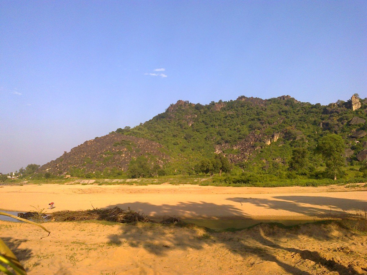
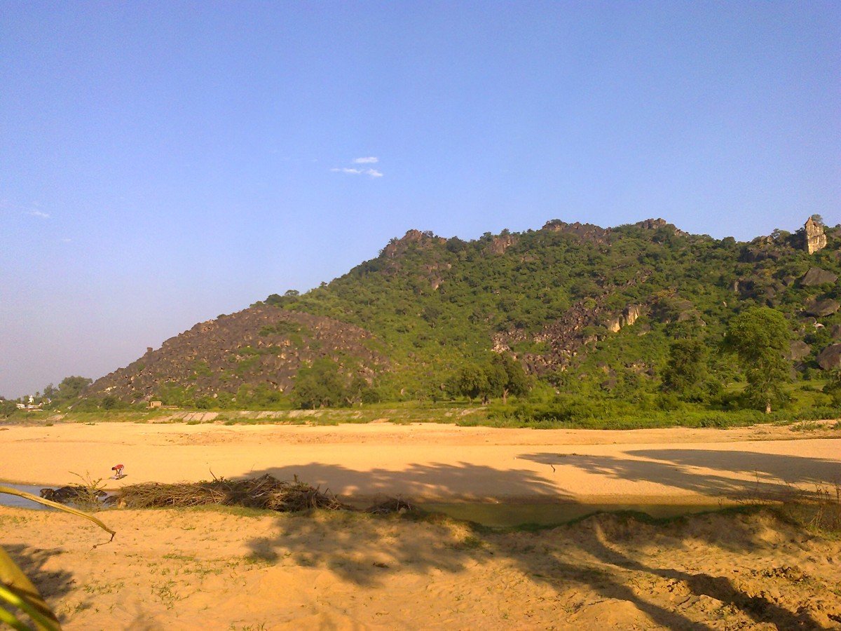
The Summit Vista: The most iconic photo spot is at the highest accessible peak, providing a 360-degree view of the Kanker forest canopy and distant tribal hamlets.
Granite Formations: Large, naturally balanced boulders throughout the range c...The Summit Vista: The most iconic photo spot is at the highest accessible peak, providing a 360-degree view of the Kanker forest canopy and distant tribal hamlets.
Granite Formations: Large, naturally balanced boulders throughout the range create surreal and artistic backgrounds for portraits and adventure photography.
Seasonal Greenery: During the Monsoon season, the entire range turns a vibrant emerald green, offering a lush contrast against the dark grey Gneiss rocks for stunning nature captures.Photo Gallery
Things To Do
-
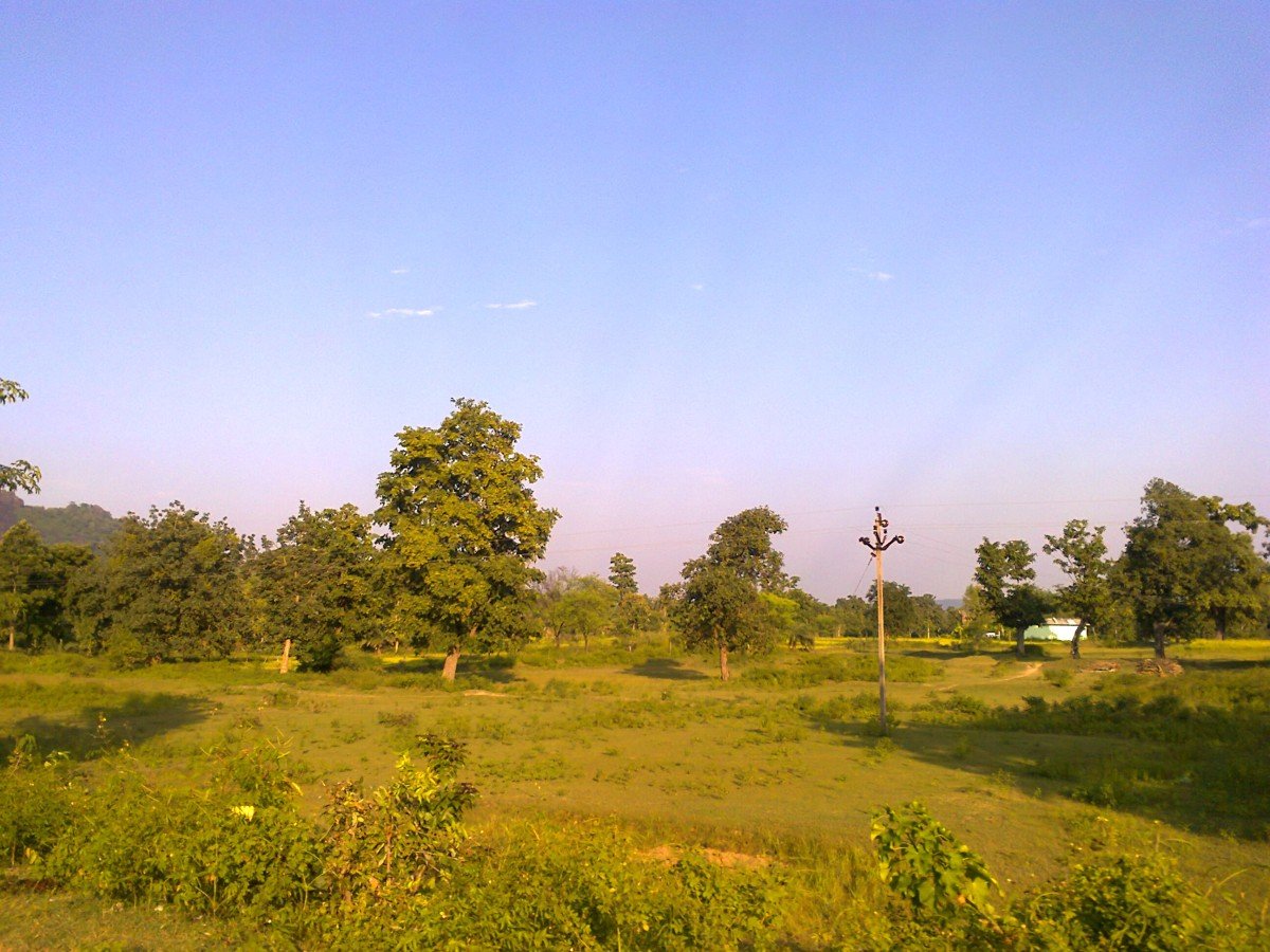
Trekking and Hiking: Adventurers can engage in rigorous trekking across the Dharwar rock formations, navigating through dense patches of Sal and Teak forests while observing local wildlife.
Bird Watching: The range is a haven for avian species, where one can spot rare forest birds such as the Hill Myna and various species of eagles soaring above the high cliffs.
Tribal Interaction: Visitors can visit the base villages to learn about the Muria and Gond cultures, understanding their deep spiritual connection to the mountain peaks.
Photography: Capturing the vast expanses of the Antagarh valley from the highest ridges offers a unique opportunity for wide-angle landscape shots and macro photography of unique rock moss.
Nature Walks: ...Trekking and Hiking: Adventurers can engage in rigorous trekking across the Dharwar rock formations, navigating through dense patches of Sal and Teak forests while observing local wildlife.
Bird Watching: The range is a haven for avian species, where one can spot rare forest birds such as the Hill Myna and various species of eagles soaring above the high cliffs.
Tribal Interaction: Visitors can visit the base villages to learn about the Muria and Gond cultures, understanding their deep spiritual connection to the mountain peaks.
Photography: Capturing the vast expanses of the Antagarh valley from the highest ridges offers a unique opportunity for wide-angle landscape shots and macro photography of unique rock moss.
Nature Walks: For a more relaxed experience, the lower foothills offer gentle trails perfect for identifying diverse plant species used in traditional tribal medicine.
Rock Climbing: The sturdy Granite faces provide excellent natural holds for amateur rock climbers looking to test their skills in an uncontrolled, natural environment.
Stargazing: Due to the lack of light pollution, the mountain peaks serve as an exceptional site for observing the night sky and the Milky Way during clear winter nights.
Information
-
Why Famous:
Fame and Recognition: The Kuwa Pani Mountain Range is famous for its breathtaking panoramic views and its role as a natural fortress that once protected the local tribal kingdoms from external invasions. It is highly regarded by geologists for its ancient rock compositions,...Fame and Recognition: The Kuwa Pani Mountain Range is famous for its breathtaking panoramic views and its role as a natural fortress that once protected the local tribal kingdoms from external invasions. It is highly regarded by geologists for its ancient rock compositions, which are among the oldest in the Indian Subcontinent, showcasing the rich mineral wealth of Chhattisgarh.
Natural Splendor: Photographers and nature lovers flock here to witness the dramatic light shifts over the Granite cliffs during golden hours, making it a premier spot for landscape photography in the district. -
Architecture:
Architectural Design and Structure: The architecture of the Kuwa Pani Mountain Range is entirely natural, characterized by Archaian Hill Groups which cover nearly 95% of the Kanker region's geological landscape. These mountains are primarily composed of massive Granite and ...Architectural Design and Structure: The architecture of the Kuwa Pani Mountain Range is entirely natural, characterized by Archaian Hill Groups which cover nearly 95% of the Kanker region's geological landscape. These mountains are primarily composed of massive Granite and Gneiss rock formations that have been weathered over millions of years to create unique shapes and deep crevices.
Physical Dimensions: The range spans several kilometers across the Antagarh block, with various peaks reaching elevations between 500 meters and 700 meters above sea level. The structural integrity of the mountains is defined by the Dharwar Hill Group, which presents a crude and broken aesthetic that is both visually striking and challenging for trekkers. -
How To Reach:
By Air: The nearest airport is Swami Vivekananda Airport in Raipur, located approximately 225 KM away; from there, one can hire a private taxi or take a state bus to Kanker and then to Antagarh.
By Train: The nearest major railway station i...By Air: The nearest airport is Swami Vivekananda Airport in Raipur, located approximately 225 KM away; from there, one can hire a private taxi or take a state bus to Kanker and then to Antagarh.
By Train: The nearest major railway station is at Dalli Rajhara, about 60 KM away, which connects to Durg and Raipur; local transport is available from the station to reach the mountain base.
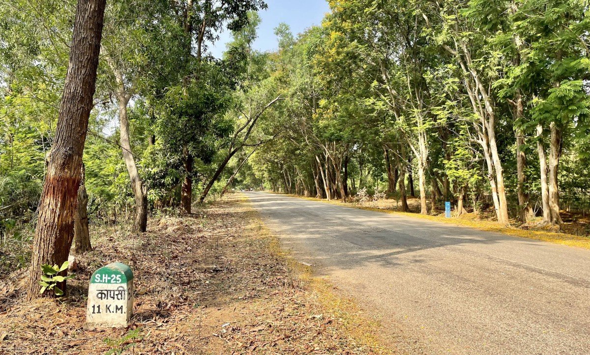
By Road: Kanker is well-connected via National Highway 30; travelers can take a bus or drive from Kanker towards Antagarh for about 85 KM to reach the Kuwapani village area.
By Local Transport: Within Antagarh, local jeeps and "auto-rickshaws" are the primary means of reaching the specific trekking start points, though private vehicles are more convenient for the long distance. -
Weather and Best Time to Visit:
Winter Season: The months from October to March are the best time to visit as the weather is cool and pleasant, making the long treks comfortable for visitors of all ages.
Monsoon Magic: During July to September, the range is at its scenic p...Winter Season: The months from October to March are the best time to visit as the weather is cool and pleasant, making the long treks comfortable for visitors of all ages.
Monsoon Magic: During July to September, the range is at its scenic peak with clouds touching the hills, though trekking can be slippery and challenging.
Morning and Evening: Early mornings are best for trekking and photography, while the late afternoon provides a cooling breeze and a soft glow over the landscape before dusk sets in. -
Near Tourist Places:
1. Charre Marre Falls (45 KM), 2. Malajkudum Waterfall (95 KM), 3. Gadiya Mountain (88 KM), 4. Shivani Temple (85 KM), 5. Keshkal Valley (120 KM), 6. Dudhawa Dam (110 KM), 7. Udkuda Pool (82 KM), 8. Jalhur Hill Station (40 KM), 9. Mankeshri Dam (75 KM), 10. Dev Dhara Picnic Spot (55 KM)
Tourism Tips
-
Health and Safety: Always carry a basic first-aid kit and wear sturdy trekking boots with good grip; inform the local police station or forest outpost before heading deep into the range.
Packing Essentials: Carry at least 3 liters of water ...Health and Safety: Always carry a basic first-aid kit and wear sturdy trekking boots with good grip; inform the local police station or forest outpost before heading deep into the range.
Packing Essentials: Carry at least 3 liters of water per person, high-energy snacks, a sun hat, and a light jacket as the temperature can drop significantly at higher altitudes.
Respecting Culture: Avoid taking photos of tribal rituals or people without permission; maintain the sanctity of the mountain by not littering or making loud noises.
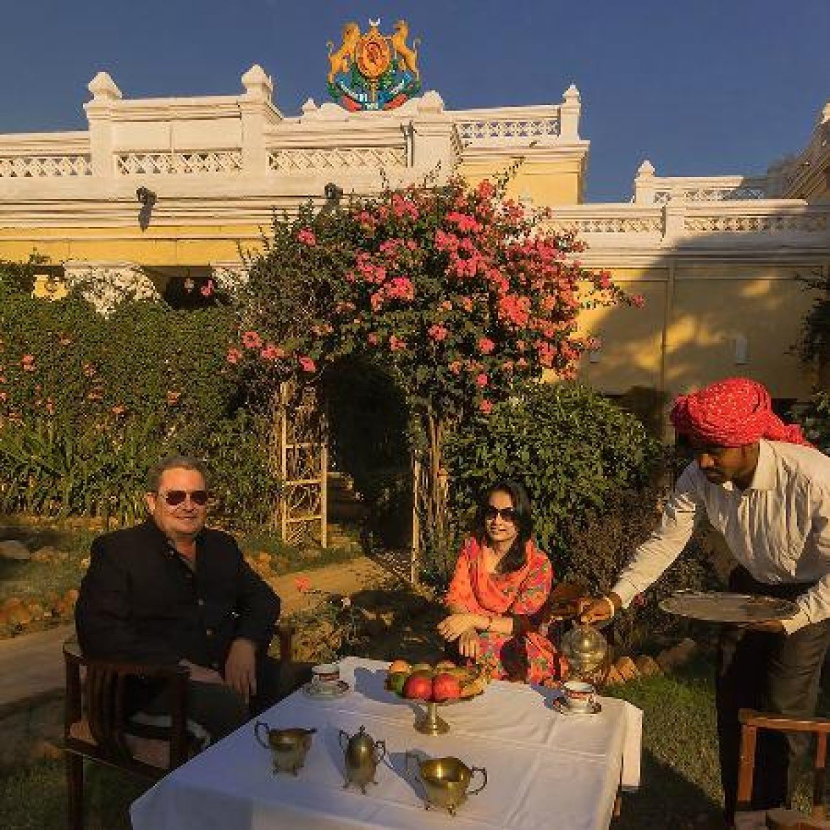
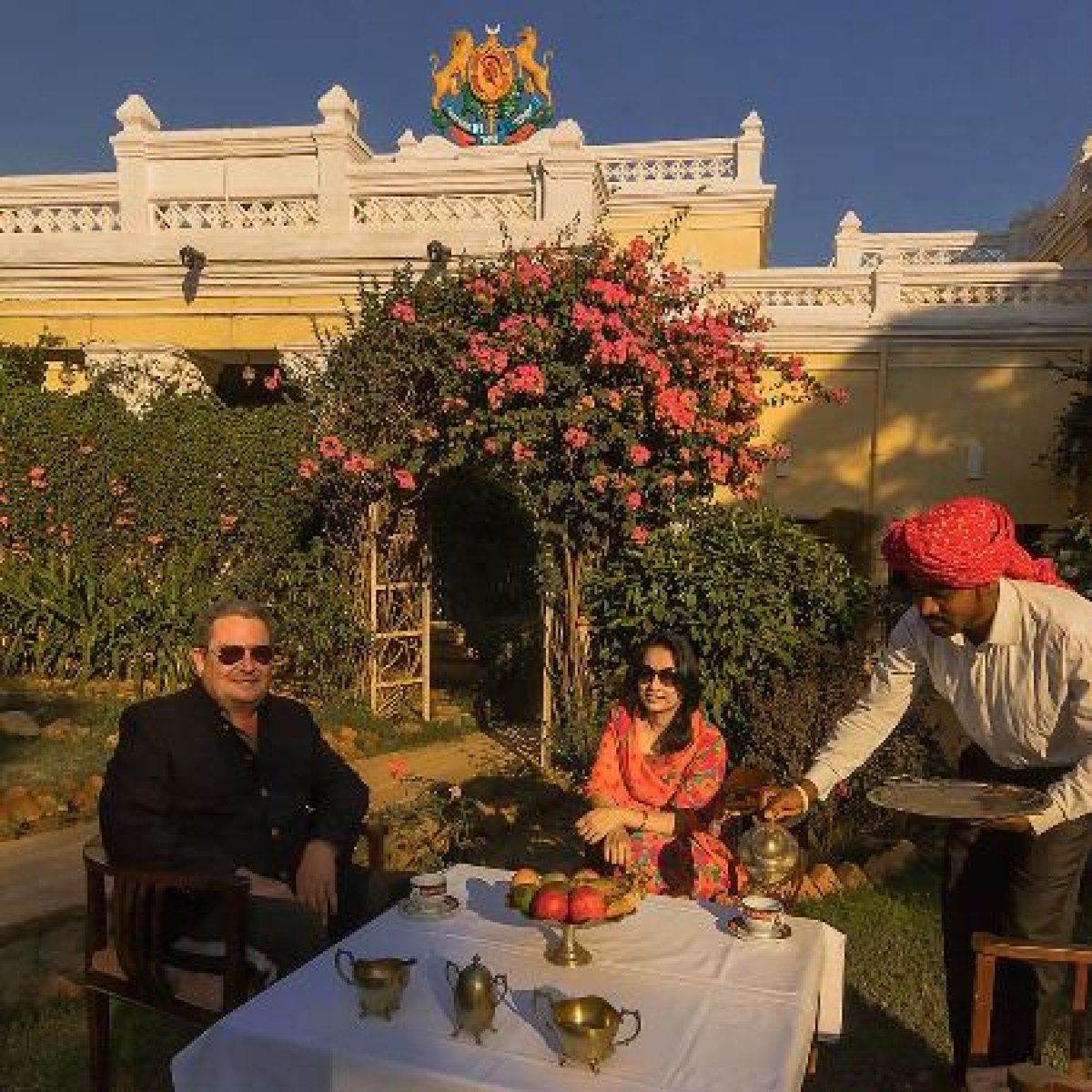
Accommodation Options: It is best to stay in Kanker town or at the Kanker Palace heritage hotel, as there are no proper lodging facilities directly at the mountain range.
Reviews
FAQs
Kanker Itineray And Cost:-
Kuwa Pani Mountain Range Tourism:-
Other Places In Kanker :-
Other States In India :-
Information about New and Updated Locations() of Chhattisgarh Has Been Added :-
Card subtitle
Note:-
Information provided here in good Faith and for reference only.
Near Places
Balaji Temple
Some quick example text to build on the card title and make up the bulk of the card's content.
Go somewhere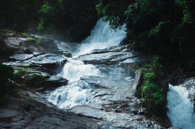
Charre Marre Falls
Some quick example text to build on the card title and make up the bulk of the card's content.
Go somewhere
Dev Dhara Picnic Spot
Some quick example text to build on the card title and make up the bulk of the card's content.
Go somewhere
Gadiya Hill Watchtower
Some quick example text to build on the card title and make up the bulk of the card's content.
Go somewhere
Gadiya Mountain
Some quick example text to build on the card title and make up the bulk of the card's content.
Go somewhere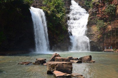
Gotitola Waterfall
Some quick example text to build on the card title and make up the bulk of the card's content.
Go somewhere
Jalhur Hill Station
Some quick example text to build on the card title and make up the bulk of the card's content.
Go somewhere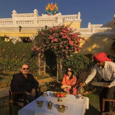
Kanker Palace
Some quick example text to build on the card title and make up the bulk of the card's content.
Go somewhere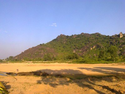
Khandi River
Some quick example text to build on the card title and make up the bulk of the card's content.
Go somewhere
Kherkatta Dam
Some quick example text to build on the card title and make up the bulk of the card's content.
Go somewhere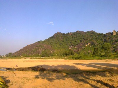
Kuttri River
Some quick example text to build on the card title and make up the bulk of the card's content.
Go somewhere
Kuwa Pani Mountain Range
Some quick example text to build on the card title and make up the bulk of the card's content.
Go somewhere
Maa Shivani Temple
Some quick example text to build on the card title and make up the bulk of the card's content.
Go somewhere
Majhingarh Hill Station
Some quick example text to build on the card title and make up the bulk of the card's content.
Go somewhere
Malanjhkudum Waterfall
Some quick example text to build on the card title and make up the bulk of the card's content.
Go somewhere
Mankesri Dam
Some quick example text to build on the card title and make up the bulk of the card's content.
Go somewherein Other Cities