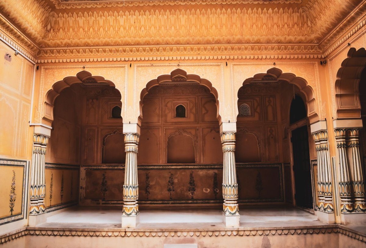
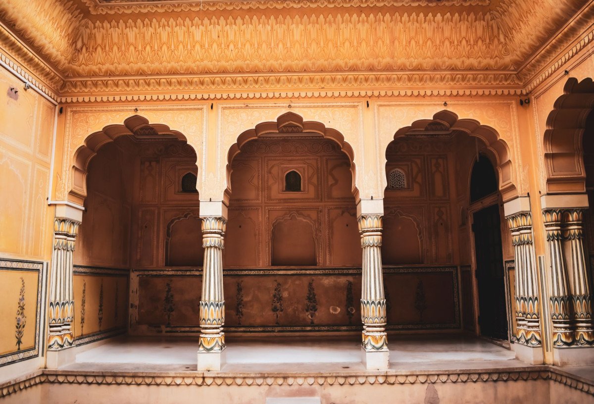
Mirjan Fort
General information
-
Ideal Duration:
1 - 2 HoursPlace Type:
Historical Fort / Heritage SiteEntry Fees:
Free Entry: Currently, there is No Entry Fee for visitors at Mirjan Fort.
Parking Charges: You might have to pay a small fee of 20 INR for two-wheelers and 50 INR for cars. ...Free Entry: Currently, there is No Entry Fee for visitors at Mirjan Fort.
Parking Charges: You might have to pay a small fee of 20 INR for two-wheelers and 50 INR for cars.Timing:
Regular Timings: Open daily from 8:00 AM to 5:30 PM.
Ideal Visit Time: The best time to enter is at 8:30 AM to avoid the afternoon heat and enjoy the soft morning light for photos. ...Regular Timings: Open daily from 8:00 AM to 5:30 PM.
Ideal Visit Time: The best time to enter is at 8:30 AM to avoid the afternoon heat and enjoy the soft morning light for photos.Special Events:
Independence Day: Every 15th August, a grand flag hoisting ceremony is held at the fort's highest point.
Photography Workshops: Local groups often organize weekend photo-walks during the peak Monsoon in July. ...Independence Day: Every 15th August, a grand flag hoisting ceremony is held at the fort's highest point.
Photography Workshops: Local groups often organize weekend photo-walks during the peak Monsoon in July.Best Photo Spots:
The Main Entrance: Stand at the base of the "U-shaped" entry gate to capture the scale of the laterite walls.
Mossy Walls: The mid-section of the fort during August provides a bright green backdrop.
River Vie...The Main Entrance: Stand at the base of the "U-shaped" entry gate to capture the scale of the laterite walls.
Mossy Walls: The mid-section of the fort during August provides a bright green backdrop.
River View Point: The north-western bastion offers a stunning view of the Aghanashini River meeting the sea.Photo Gallery
Things To Do
-
Historical Photography: Capture the majestic stone arches and the mossy walls during September.
Explore the Bastions: Climb the circular towers to get a 360-degree view of the Aghanashini River.
Guided Walk: Walk through the main entrance and observe the Islamic and Portuguese influence in the stone carvings.
Picnic on the Lawns: The inner courtyard has well-maintained grass perfect for a quiet family afternoon.
Study the Drainage: Observe the ancient channels that still drain rainwater efficiently.
Sunset Watching: Watch the sun go down over the river from the western walls of the fort.
Bird Watching: Look for coastal birds that nest in the high crevices ...Historical Photography: Capture the majestic stone arches and the mossy walls during September.
Explore the Bastions: Climb the circular towers to get a 360-degree view of the Aghanashini River.
Guided Walk: Walk through the main entrance and observe the Islamic and Portuguese influence in the stone carvings.
Picnic on the Lawns: The inner courtyard has well-maintained grass perfect for a quiet family afternoon.
Study the Drainage: Observe the ancient channels that still drain rainwater efficiently.
Sunset Watching: Watch the sun go down over the river from the western walls of the fort.
Bird Watching: Look for coastal birds that nest in the high crevices of the ruins.
Information
-
Why Famous:
Historical Significance: It is famous as the stronghold of Queen Chennabhairadevi, one of the longest-ruling female monarchs in India.
Visual Beauty: The fort is legendary for its "Green Look" during the Monsoon when every stone is covered...Historical Significance: It is famous as the stronghold of Queen Chennabhairadevi, one of the longest-ruling female monarchs in India.
Visual Beauty: The fort is legendary for its "Green Look" during the Monsoon when every stone is covered in soft green moss, making it a paradise for landscape photographers.
Strategic Port: Historically, it was a major port for exporting Pepper, Cassia, and Nutmeg to Europe. -
Architecture:
Architectural Style:
Laterite Military Design: The fort is primarily constructed using locally available Laterite stones and mud. Its walls are exceptionally thick to withstand cannon fire.
Fortress Dimensions...Architectural Style:
Laterite Military Design: The fort is primarily constructed using locally available Laterite stones and mud. Its walls are exceptionally thick to withstand cannon fire.
Fortress Dimensions: The fort is spread over 4. 1 hectares (10 acres). The main walls rise to a height of about 15 meters.
Key Features: It features a high defense wall with numerous circular bastions and watchtowers. The main entrance is designed with a "U-shape" to trap invaders. Inside, there are 4 interlinked wells and a deep circular moat that once surrounded the entire structure for protection. -
How To Reach:
By Air: The nearest airport is Dabolim Airport (Goa), about 150 KMS away.
By Train: Kumta Railway Station is the closest, just 11 KMS from the fort.
By Road: It is right off the NH-66 highway. You can ta...By Air: The nearest airport is Dabolim Airport (Goa), about 150 KMS away.
By Train: Kumta Railway Station is the closest, just 11 KMS from the fort.
By Road: It is right off the NH-66 highway. You can take a bus from Gokarna heading to Kumta.
By Local Transport: Taxis and rented scooters are the most popular way to reach from Gokarna. -
Weather and Best Time to Visit:
Seasons: Winter (November to February) is the most comfortable. Monsoon (July to September) is best for green views.
Parts of Day: Early Morning is best for photography, while Late Afternoon offers cooler temperatures for exploring the ru...Seasons: Winter (November to February) is the most comfortable. Monsoon (July to September) is best for green views.
Parts of Day: Early Morning is best for photography, while Late Afternoon offers cooler temperatures for exploring the ruins. -
Near Tourist Places:
1. Om Beach (23 KMS), 2. Kudle Beach (22 KMS), 3. Mahabaleshwar Temple (22 KMS), 4. Kumta Beach (12 KMS), 5. Dhareshwar (15 KMS), 6. Honnavar (30 KMS), 7. Yana Caves (25 KMS), 8. Vibhooti Falls (35 KMS), 9. Idagunji Temple (45 KMS), 10. Murudeshwar (55 KMS)
Tourism Tips
-
Health & Safety: Wear sturdy shoes as the laterite stones can be uneven and slippery when wet.
Packing: Carry a water bottle and a hat. There are limited shops inside the fort area.
Accommodation: Stay i...Health & Safety: Wear sturdy shoes as the laterite stones can be uneven and slippery when wet.
Packing: Carry a water bottle and a hat. There are limited shops inside the fort area.
Accommodation: Stay in Gokarna or Kumta as there are no hotels near the fort itself.
Cash & Connectivity: Carry Cash as mobile networks can be spotty and the nearest ATM is in Kumta town.
Reviews
FAQs
Gokarna Itineray And Cost:-
Information about New and Updated Locations() of Karnataka Has Been Added :-
Card subtitle
Note:-
Information provided here in good Faith and for reference only.
All information and pictures will be updated soon, please keep visiting.
Near Places
Apsarakonda Falls & Caves
Some quick example text to build on the card title and make up the bulk of the card's content.
Go somewhere
Gokarna Main Beach
Some quick example text to build on the card title and make up the bulk of the card's content.
Go somewhere
Half Moon Beach
Some quick example text to build on the card title and make up the bulk of the card's content.
Go somewhere
Honnavar Port
Some quick example text to build on the card title and make up the bulk of the card's content.
Go somewhere
Karwar Beach
Some quick example text to build on the card title and make up the bulk of the card's content.
Go somewhere
Koti Tirtha
Some quick example text to build on the card title and make up the bulk of the card's content.
Go somewhere
Kudle Beach
Some quick example text to build on the card title and make up the bulk of the card's content.
Go somewhere
Lalguli Falls
Some quick example text to build on the card title and make up the bulk of the card's content.
Go somewhere
Maha Ganapathi Temple
Some quick example text to build on the card title and make up the bulk of the card's content.
Go somewhere
Mahabaleshwara Temple
Some quick example text to build on the card title and make up the bulk of the card's content.
Go somewherein Other Cities