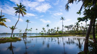
How To Reach Chatra Lake
How to Reach
By Train (Nearest Railway Stations - 100+ words): The town of Chatra is not yet connected by a railway line, with the task of establishing one still in progress. The nearest major railway junction is Gaya Junction (GAYA) in Bihar, located approximately 90 KMS away. Koderma Railway Station (KQR) is another accessible option, situated about 120 KMS away. From these railway stations, local buses, shared taxis, or private cars are the only available options to travel the remaining distance to Chatra. Gaya offers excellent connectivity to major Indian cities like Delhi, Kolkata, and Mumbai.
By Road (To Chatra Town and Lake - 100+ words): Chatra is well-served by a network of good roads, connecting it to major cities and districts like Hazaribagh, Ranchi, Daltonganj (Medininagar), and Gaya. National Highway NH-22 passes nearby. The road journey from Ranchi takes about 3-4 hours, and from Hazaribagh around 2 hours. Once in Chatra town, the lake/reservoir is about 10 KMS away on the Chatra–Chandwa Road (towards the south-west). The last 2-4 KMS to the exact spot may involve travelling on a slightly rougher, fair-weather motorable road, which may require a robust vehicle like a jeep or SUV. By Local Transport (From Chatra Town - 100+ words): From the main Chatra town or bus stand, the easiest and most reliable local transport option is to hire an auto-rickshaw (a tuk-tuk) or a local private taxi for a return trip to the lake. Negotiate the fare with the driver before starting the journey, as the last stretch is less frequented. For budget travellers, local shared jeeps or buses run along the main Chatra–Chandwa road, where one can alight and then walk the final short distance (about 2 KMS) on foot, which is a common practice for visitors.
Chatra Itineray And Cost:-
Information about New and Updated Locations() of Jharkhand Has Been Added :-
Card subtitle
Note:-
Information provided here in good Faith and for reference only.
All information and pictures will be updated soon, please keep visiting.
Near Places
Balthar Falls
Some quick example text to build on the card title and make up the bulk of the card's content.
Go somewhere
Balu Math Shiva Temple
Some quick example text to build on the card title and make up the bulk of the card's content.
Go somewhere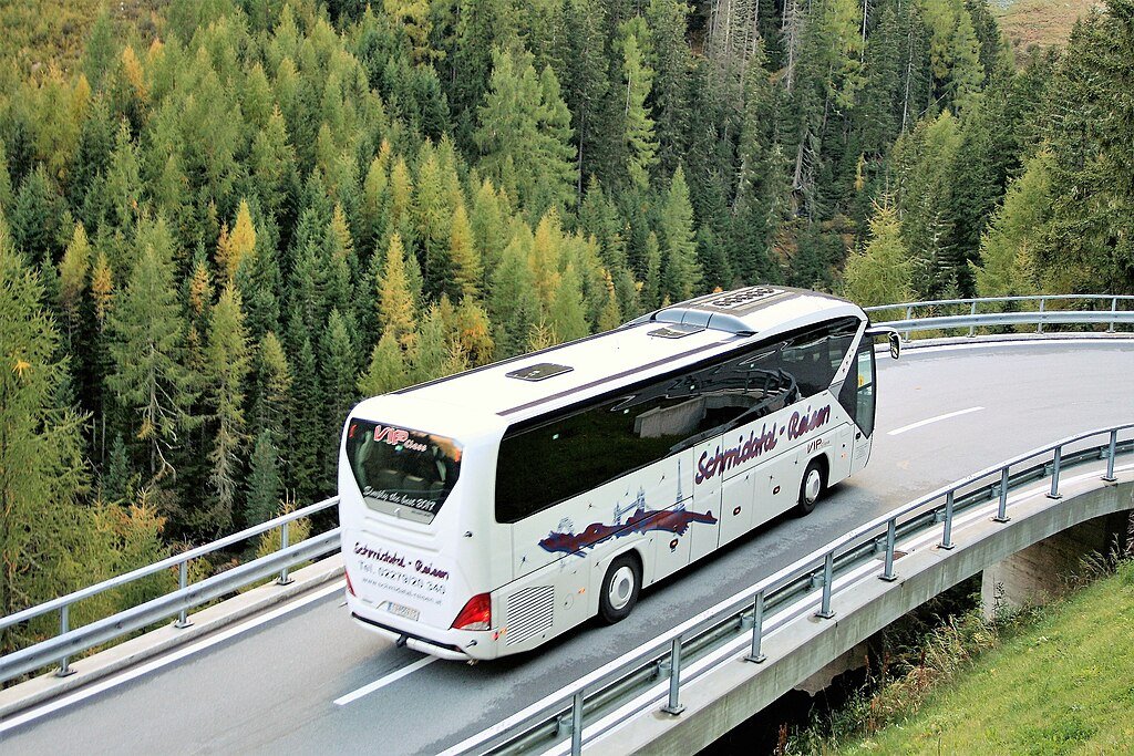
Barura Sharif
Some quick example text to build on the card title and make up the bulk of the card's content.
Go somewhere
Bichkiliya Water Reservoir
Some quick example text to build on the card title and make up the bulk of the card's content.
Go somewhere
Chatra Forest Reserve
Some quick example text to build on the card title and make up the bulk of the card's content.
Go somewhere
Chatra Jama Masjid
Some quick example text to build on the card title and make up the bulk of the card's content.
Go somewhere
Chatra Lake
Some quick example text to build on the card title and make up the bulk of the card's content.
Go somewhere
Chatra Museum
Some quick example text to build on the card title and make up the bulk of the card's content.
Go somewhere
Duari Waterfall
Some quick example text to build on the card title and make up the bulk of the card's content.
Go somewhere
Dumer Sumer Waterfall
Some quick example text to build on the card title and make up the bulk of the card's content.
Go somewhere