


How To Reach Latehar Forest Division
How to Reach
Air:
The
nearest
airport
is
Birsa
Munda
Airport
in
Ranchi,
located
110
KM
away,
which
is
well-connected
to
Delhi
and
Kolkata.
By
Train:
Latehar
Railway
Station
(LTR)
is
the
closest
hub,
just
3
KM
from
the
forest
office,
served
by
trains
like
the
Palamu
Express.
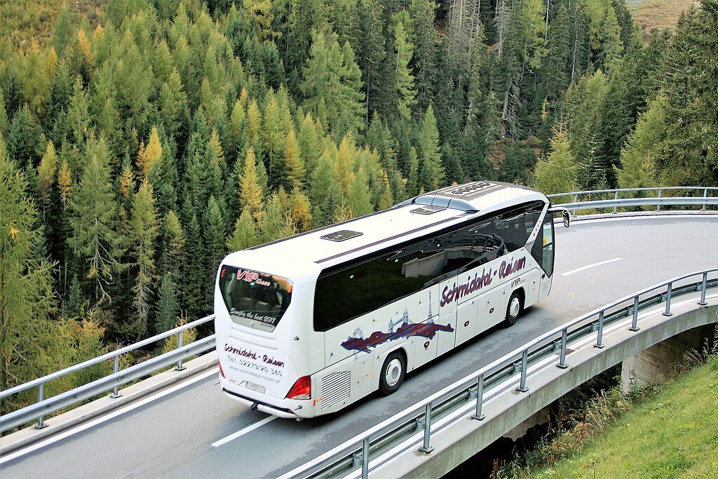
By
Road:
Latehar
is
situated
on
National
Highway
39;
regular
buses
ply
from
Ranchi,
Daltonganj,
and
Hazaribagh.
By
Local
Transport:
Auto-rickshaws
and
cycle-rickshaws
are
readily
available
at
the
Latehar
town
center
for
a
quick
ride
to
the
forest
entrance.
:
Latehar Forest Division Tourism:-
Information about New and Updated Locations(777+) of Jharkhand Has Been Added :-
Card subtitle
Note:-
Information provided here in good Faith and for reference only.
All information and pictures will be updated soon, please keep visiting.
Near Places

Amdiha Barwadih
Some quick example text to build on the card title and make up the bulk of the card's content.
Go somewhere
Bandanwa Falls
Some quick example text to build on the card title and make up the bulk of the card's content.
Go somewhere
Bendi Dam
Some quick example text to build on the card title and make up the bulk of the card's content.
Go somewhere
Betla National Park
Some quick example text to build on the card title and make up the bulk of the card's content.
Go somewhere
Chhat Talab Mukki
Some quick example text to build on the card title and make up the bulk of the card's content.
Go somewhere
Indra Waterfall
Some quick example text to build on the card title and make up the bulk of the card's content.
Go somewhere
Kamaldah Lake
Some quick example text to build on the card title and make up the bulk of the card's content.
Go somewhere
Kanti Waterfall
Some quick example text to build on the card title and make up the bulk of the card's content.
Go somewhere
Koel River
Some quick example text to build on the card title and make up the bulk of the card's content.
Go somewhere
Kutku Dam Site
Some quick example text to build on the card title and make up the bulk of the card's content.
Go somewhere