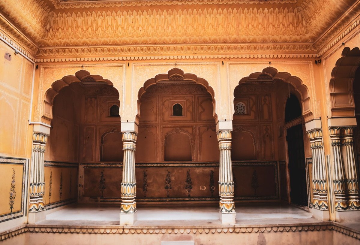
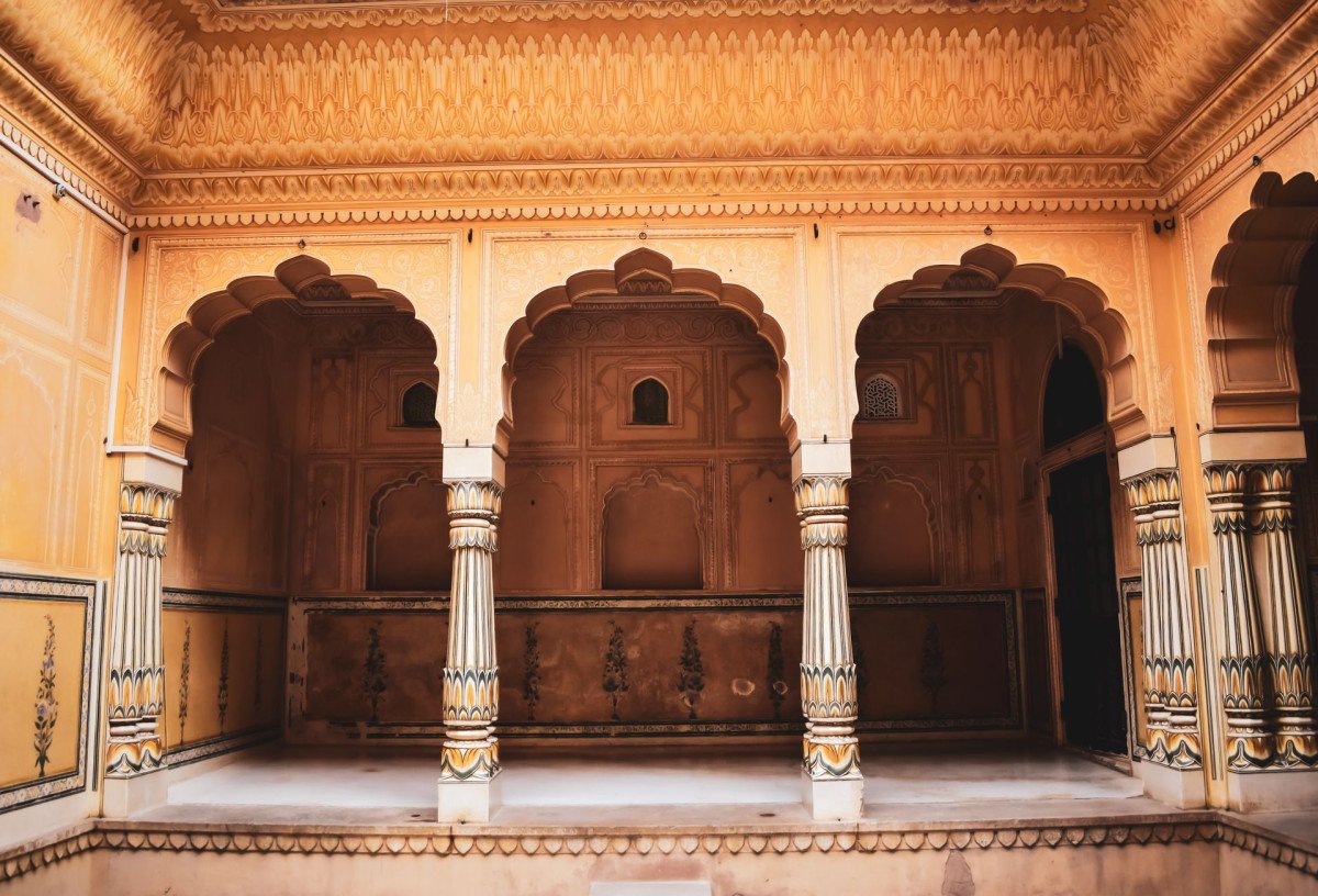
Nawagarh Fort
General information
-
Ideal Duration:
1 to 2 HoursPlace Type:
Historical & HeritageEntry Fees:
Completely Free: There is no entry fee to visit Nawagarh Fort. It is an open historical site. Parking is also free near the base of the hill. You may choose to tip a local kid a small amount to show you the way to the water cistern.
:...Completely Free: There is no entry fee to visit Nawagarh Fort. It is an open historical site. Parking is also free near the base of the hill. You may choose to tip a local kid a small amount to show you the way to the water cistern.
:Timing:
Regular Timings: Best visited between 9:00 AM and 5:00 PM. It is not advisable to stay at the hilltop after sunset due to the lack of lighting and the Presence of wild animals in the nearby woods.
Ideal Visit Time: Early morning at 8:30 AM...Regular Timings: Best visited between 9:00 AM and 5:00 PM. It is not advisable to stay at the hilltop after sunset due to the lack of lighting and the Presence of wild animals in the nearby woods.
Ideal Visit Time: Early morning at 8:30 AM for the best light.
:Special Events:
Republic Day Flag Hoisting: On January 26th, local schools and villagers often gather at the fort to hoist the national flag, celebrating the region's heritage. During the Karma festival in September, tribal groups from nearby villages sometimes perform traditional dances ...Republic Day Flag Hoisting: On January 26th, local schools and villagers often gather at the fort to hoist the national flag, celebrating the region's heritage. During the Karma festival in September, tribal groups from nearby villages sometimes perform traditional dances in the open area near the fort base.
:Best Photo Spots:
The Arched Gateway: Perfect for "framing" a person or the landscape beyond the fort.
The Southern Bastion: Offers the highest vantage point for a wide-angle shot of the Latehar district headquarters in the distance.
Read MoreThe Arched Gateway: Perfect for "framing" a person or the landscape beyond the fort.
The Southern Bastion: Offers the highest vantage point for a wide-angle shot of the Latehar district headquarters in the distance.
The Crumbling Walls: Close-up shots of the stone masonry and the moss-covered walls provide a vintage, "Indiana Jones" vibe.
:Photo Gallery
Things To Do
-
Historical Exploration: Walk through the ruins and identify the various chambers of the fort.
Hill Trekking: The short climb up the hill is an easy trek suitable for all age groups.
Landscape Photography: Capture the contrast between the ancient stone ruins and the bright green agricultural fields below.
Picnicking: The shaded areas under the old Banyan trees near the fort entrance are perfect for a family lunch.
Bird Watching: The hilltop is a great spot to see Indian Rollers and Bee-eaters.
Learning Local Lore: Engage with the villagers from Naigarh to hear legends about the fort's "hidden treasures.
" Sunset Viewing: Watch the sun dip behind the Latehar hills ...Historical Exploration: Walk through the ruins and identify the various chambers of the fort.
Hill Trekking: The short climb up the hill is an easy trek suitable for all age groups.
Landscape Photography: Capture the contrast between the ancient stone ruins and the bright green agricultural fields below.
Picnicking: The shaded areas under the old Banyan trees near the fort entrance are perfect for a family lunch.
Bird Watching: The hilltop is a great spot to see Indian Rollers and Bee-eaters.
Learning Local Lore: Engage with the villagers from Naigarh to hear legends about the fort's "hidden treasures.
" Sunset Viewing: Watch the sun dip behind the Latehar hills from the fort's highest bastion.
:
Information
-
Why Famous:
The Diwan's Legacy: The fort is famous for being one of the few surviving structures built by a high-ranking official rather than the king himself, showcasing the power of the Chero administration. It is also famous among locals as a peaceful retreat and a site for traditi...The Diwan's Legacy: The fort is famous for being one of the few surviving structures built by a high-ranking official rather than the king himself, showcasing the power of the Chero administration. It is also famous among locals as a peaceful retreat and a site for traditional storytelling about the bravery of the Chero warriors. The view from the top at sunset is particularly renowned among local photographers.
: -
Architecture:
Chero-Style Fortification: The architecture of Nawagarh Fort is characterized by the use of local stone and lime-surkhi (brick dust) mortar. The main structure follows a rectangular plan with circular bastions at the corners for defense. Dimensions include a perimeter of ...Chero-Style Fortification: The architecture of Nawagarh Fort is characterized by the use of local stone and lime-surkhi (brick dust) mortar. The main structure follows a rectangular plan with circular bastions at the corners for defense. Dimensions include a perimeter of roughly 500 meters. The walls are approximately 5 to 7 feet thick, designed to withstand cannon fire. One can still see the remains of the arched entrance and the "Diwan-e-Khas" area where administrative work was conducted. The fort integrates the natural rocky terrain of the hill into its defensive walls, a classic feature of medieval hill forts in eastern India.
: -
How To Reach:
By Air: Ranchi Airport is about 110 KMS away.
By Train: Latehar Railway Station is just 12 KMS away. You can easily find an auto from the station.
By Road: It is a short 11 KM drive from Latehar town via t...By Air: Ranchi Airport is about 110 KMS away.
By Train: Latehar Railway Station is just 12 KMS away. You can easily find an auto from the station.
By Road: It is a short 11 KM drive from Latehar town via the Latehar-Naigarh road.
By Local Transport: Shared autos (Tempos) run from Latehar market towards Naigarh village frequently. From the drop-off point, it's a 15-minute walk up.
: -
Weather and Best Time to Visit:
Winter (November to February): The weather is perfect for climbing the hill.
Early Monsoon (June to July): The surrounding landscape is incredibly green, though the trail can be a bit muddy.
Time of Day: Af...Winter (November to February): The weather is perfect for climbing the hill.
Early Monsoon (June to July): The surrounding landscape is incredibly green, though the trail can be a bit muddy.
Time of Day: Afternoon between 3:30 PM and 5:00 PM provides the best golden hour lighting for the stone ruins.
: -
Near Tourist Places:
Tattapani Hot Spring (12 KMS), Indra Waterfall (14 KMS), Latehar Pahari Mandir (5 KMS), Kanti Falls (25 KMS), Betla National Park (60 KMS), Palamu Fort (65 KMS), Auranga River (15 KMS), Netarhat (85 KMS), Datam Patam Falls (40 KMS), Kechki Sangam (55 KMS).
Tourism Tips
-
Health & Safety: The stairs can be uneven, so wear shoes with good grip. Watch out for beehives in the old ruins.
Packing: Carry water as there are no shops at the top. Bring a hat to protect against the sun.
...Health & Safety: The stairs can be uneven, so wear shoes with good grip. Watch out for beehives in the old ruins.
Packing: Carry water as there are no shops at the top. Bring a hat to protect against the sun.
Accommodation: Stay in Latehar town at hotels like Hotel Maa Vaishno or the Government Circuit House.
Cash & Connectivity: ATMs are plenty in Latehar town (11 KMS). Mobile connectivity (Jio/Airtel) is excellent at the hilltop. No Wi-Fi available.
:
Reviews
FAQs
Latehar Itineray And Cost:-
Other Places In Latehar :-
Other States In India :-
Information about New and Updated Locations() of Jharkhand Has Been Added :-
Card subtitle
Note:-
Information provided here in good Faith and for reference only.
Near Places
Amdiha Barwadih
Some quick example text to build on the card title and make up the bulk of the card's content.
Go somewhere
Bandanwa Falls
Some quick example text to build on the card title and make up the bulk of the card's content.
Go somewhere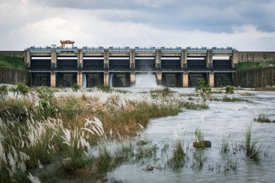
Bendi Dam
Some quick example text to build on the card title and make up the bulk of the card's content.
Go somewhere
Betla National Park
Some quick example text to build on the card title and make up the bulk of the card's content.
Go somewhere
Chhat Talab Mukki
Some quick example text to build on the card title and make up the bulk of the card's content.
Go somewhere
Indra Waterfall
Some quick example text to build on the card title and make up the bulk of the card's content.
Go somewhere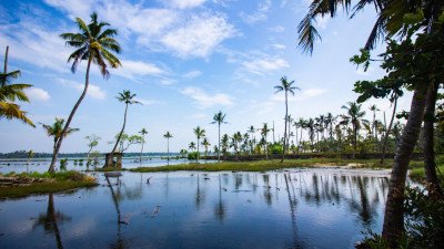
Kamaldah Lake
Some quick example text to build on the card title and make up the bulk of the card's content.
Go somewhere
Kanti Waterfall
Some quick example text to build on the card title and make up the bulk of the card's content.
Go somewhere
Koel River
Some quick example text to build on the card title and make up the bulk of the card's content.
Go somewhere
Kutku Dam Site
Some quick example text to build on the card title and make up the bulk of the card's content.
Go somewhere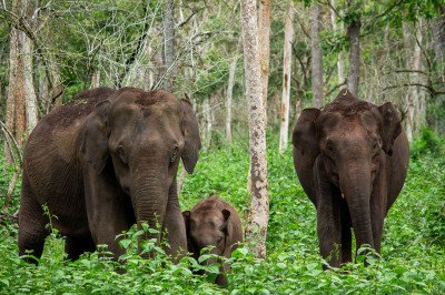
Latehar Forest Division
Some quick example text to build on the card title and make up the bulk of the card's content.
Go somewhere
Latehar Lake
Some quick example text to build on the card title and make up the bulk of the card's content.
Go somewhere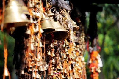
Latehar Shiva Temple
Some quick example text to build on the card title and make up the bulk of the card's content.
Go somewhere
Latehar View Point
Some quick example text to build on the card title and make up the bulk of the card's content.
Go somewhere
Lodh Falls
Some quick example text to build on the card title and make up the bulk of the card's content.
Go somewhere
Lower Ghaghri Falls
Some quick example text to build on the card title and make up the bulk of the card's content.
Go somewherein Other Cities