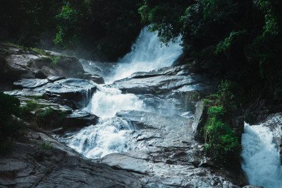
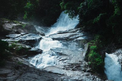
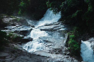
How To Reach Adyar Falls
How to Reach
20 KMS):: The nearest airport is Mangalore International Airport (IXE), located approximately 20 KMS away from Adyar Falls. After landing, you can hire a pre-paid taxi or a ride-share cab (like Ola or Uber) directly from the airport terminal to the start of the trek point near Adyar. The journey by road takes about 45 minutes to an hour, depending on traffic, and is the most convenient option for reaching this site quickly and comfortably. Always specify the destination as Adyar Falls trek starting point, as the exact spot may not be a major landmark. By Train (Approx.
12-15 KMS):: The nearest major railway station is Mangaluru Central (MAQ) or Mangaluru Junction (MAJN). From either station, which are both about 12-15 KMS away, you can hire an auto-rickshaw or a local taxi to reach the village of Adyar on the outskirts of Mangalore. The ride will take approximately 30-40 minutes. Ensure you negotiate the fare with the auto driver beforehand or insist on using the meter, as the falls are in a less-frequented area.
By Road (National Highway Access):: Adyar Falls is well-connected by road, located near NH 73 (formerly NH 48), which runs towards BC Road highway near Adyar village. If driving a private or rented vehicle, follow the route towards Adyar on the highway.
There are two main approaches: one via the BC Road side and another from the Neermarga road towards Valachil. The entire drive from the main Mangalore city center is generally straightforward and takes about 20-30 minutes. Once you reach the general area, you must look for the designated (often informal) parking spot and begin the 1. 5-kilometre trek on foot. Local signage is minimal, so using GPS is highly recommended.
By Local Transport (Bus/Auto-rickshaw):: You can take a local city bus from the State Bank Bus Stop or the KSRTC Bus Stand in Mangalore heading towards BC Road or Valachil. Alight at the Adyar stop, and from there, you will need to either hire a local auto-rickshaw for the final kilometer or so or begin your walk directly, which can be a long one on the main road before the trek starts. The local bus is the most economical option but requires the longest final walk. The most reliable local transport option is a full-time hired auto-rickshaw or taxi from the city center.
Mangalore Itineray And Cost:-
Information about New and Updated Locations() of Karnataka Has Been Added :-
Card subtitle
Note:-
Information provided here in good Faith and for reference only.
All information and pictures will be updated soon, please keep visiting.
Near Places
Adyar Falls
Some quick example text to build on the card title and make up the bulk of the card's content.
Go somewhere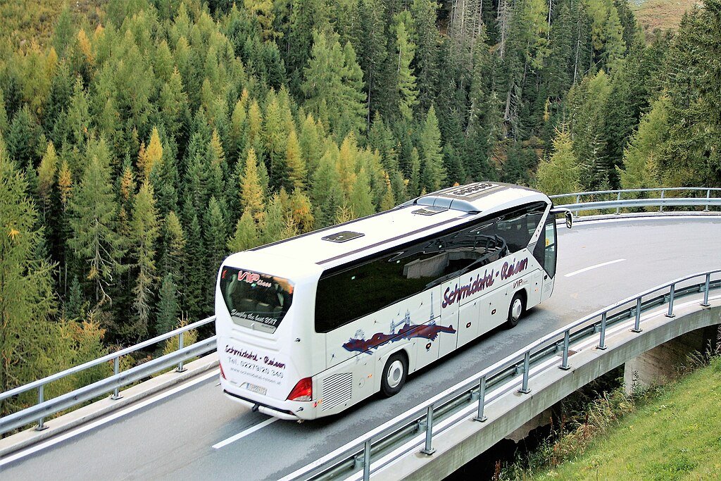
Bahubali Gomateshwara Monolith
Some quick example text to build on the card title and make up the bulk of the card's content.
Go somewhere
Bappanadu Sri Durgaparameshwari Temple
Some quick example text to build on the card title and make up the bulk of the card's content.
Go somewhere
Kadri Hill Park
Some quick example text to build on the card title and make up the bulk of the card's content.
Go somewhere
Kadri Manjunatha Temple
Some quick example text to build on the card title and make up the bulk of the card's content.
Go somewhere
Karinja Cliff
Some quick example text to build on the card title and make up the bulk of the card's content.
Go somewhere
Kudroli Gokarnath Temple
Some quick example text to build on the card title and make up the bulk of the card's content.
Go somewhere
Mangaladevi Temple
Some quick example text to build on the card title and make up the bulk of the card's content.
Go somewhere
Milagres Church
Some quick example text to build on the card title and make up the bulk of the card's content.
Go somewhere
Mookambika Temple, Kollur
Some quick example text to build on the card title and make up the bulk of the card's content.
Go somewhere