Kathgodam
General information
-
Ideal Duration:
2 to 4 HoursPlace Type:
Transit & SightseeingBest Photo Spots:
Railway Platform: For iconic travel photography.
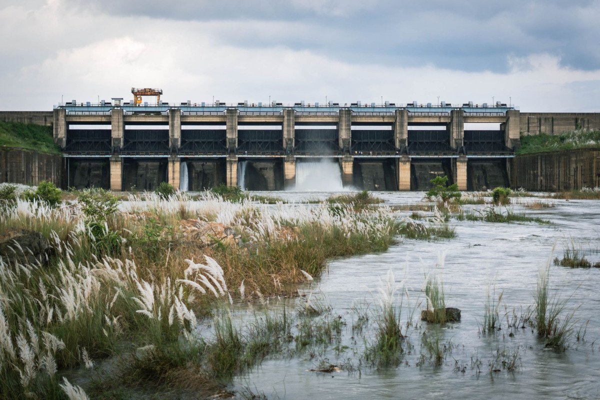
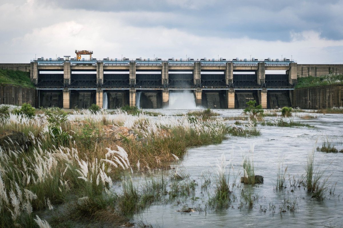
Dam Viewpoint: Aerial view of the Gaula River.
Hilltop Temples: Sunset views over the plains. ...Railway Platform: For iconic travel photography.
Dam Viewpoint: Aerial view of the Gaula River.
Hilltop Temples: Sunset views over the plains.Photo Gallery
Things To Do
-
Temple Visit: Seek blessings at Sheetla Devi.
Dam Walk: View the sunset at the Gaula Dam.
Shopping: Buy local Kumaoni handicrafts in the market.
River Rafting: Occasional seasonal rafting near Gaula.
Food Trip: Try local "Bal Mithai" at heritage shops.
Trekking: Short uphill treks to nearby viewpoints.
Photography: Capture the trains against the mountain backdrop. ...Temple Visit: Seek blessings at Sheetla Devi.
Dam Walk: View the sunset at the Gaula Dam.
Shopping: Buy local Kumaoni handicrafts in the market.
River Rafting: Occasional seasonal rafting near Gaula.
Food Trip: Try local "Bal Mithai" at heritage shops.
Trekking: Short uphill treks to nearby viewpoints.
Photography: Capture the trains against the mountain backdrop.
Information
-
-
Architecture:
Railway Station: A blend of modern and British era functional railway architecture.
Sheetla Devi Temple: Traditional hilltop temple architecture with colorful domes.
Gaula Dam: A massive concrete gravity da...Railway Station: A blend of modern and British era functional railway architecture.
Sheetla Devi Temple: Traditional hilltop temple architecture with colorful domes.
Gaula Dam: A massive concrete gravity dam structure built for irrigation and water supply. -
How To Reach:
By Air: Pantnagar is 34 KM away.
By Train: Major station with direct Delhi connectivity.
By Road: On the main NH-87.
By Local Transport: E-rickshaws and autos are available...By Air: Pantnagar is 34 KM away.
By Train: Major station with direct Delhi connectivity.
By Road: On the main NH-87.
By Local Transport: E-rickshaws and autos are available 24/7. -
-
Near Tourist Places:
Nainital (35 KM), Bhimtal (22 KM), Sattal (28 KM), Naukuchiatal (30 KM), Haldwani (8 KM), Jeolikot (18 KM), Bhowali (25 KM), Mukteshwar (60 KM), Ranikhet (75 KM), Almora (85 KM).
Tourism Tips
-
Health & Safety: Stay hydrated; avoid street food during monsoons.
Packing: Comfortable shoes for walking on slopes.
Cash: Plenty of ATMs available near the station.
Connectiv...Health & Safety: Stay hydrated; avoid street food during monsoons.
Packing: Comfortable shoes for walking on slopes.
Cash: Plenty of ATMs available near the station.
Connectivity: Excellent 5G and Wi-Fi in hotels.
Reviews
FAQs
Haldwani Itineray And Cost:-
Other Places In Haldwani :-
Other States In India :-
Information about New and Updated Locations() of Uttarakhand Has Been Added :-
Card subtitle
Note:-
Information provided here in good Faith and for reference only.
Near Places

Haidakhan Vishwa Mahadham
Some quick example text to build on the card title and make up the bulk of the card's content.
Go somewhere
Jeolikot
Some quick example text to build on the card title and make up the bulk of the card's content.
Go somewhere
Kaladhungi
Some quick example text to build on the card title and make up the bulk of the card's content.
Go somewhere
Kathgodam
Some quick example text to build on the card title and make up the bulk of the card's content.
Go somewhere
Khurpa Tal Lake
Some quick example text to build on the card title and make up the bulk of the card's content.
Go somewhere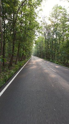
Nandhaur Wildlife Sanctuary
Some quick example text to build on the card title and make up the bulk of the card's content.
Go somewhere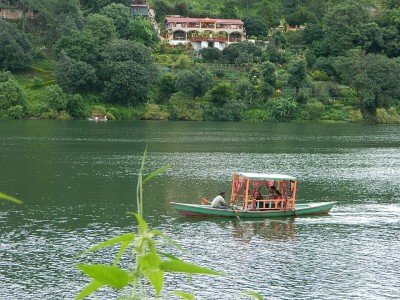
Naukuchiatal
Some quick example text to build on the card title and make up the bulk of the card's content.
Go somewhere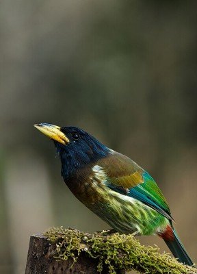
Sattal
Some quick example text to build on the card title and make up the bulk of the card's content.
Go somewherein Other Cities