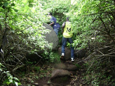
How To Reach Sunset View Point
How to Reach
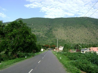
By Train: The nearest major railway station is Jolarpettai Junction (JTJ), which is only about 21 KMS from the base of Yelagiri Hills. JTJ is a major junction with excellent connectivity to metro cities like Chennai, Bangalore, Coimbatore, and Hyderabad. From Jolarpettai Junction, travelers can easily hire a local taxi or an auto-rickshaw to cover the final distance and the 14 hairpin bends up to the hill station and then to the viewpoint.
By Road: Yelagiri is extremely well-connected by road via the NH44 (Bangalore-Chennai Highway). State-run and private buses regularly operate from Chennai (230 KMS), Bangalore (160 KMS), and Vellore (90 KMS) to Tirupattur or Jolarpettai, from where local taxis are available. Driving a personal vehicle or hiring a private cab is the most convenient option, as the road quality, especially the ghat road, is generally good.
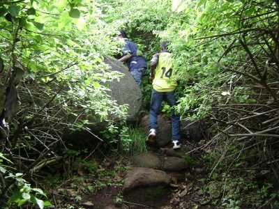
By Local Transport: Within Yelagiri, the viewpoint is about 3-4 KMS from the main town center (Athanavoor). The best local transport is a rented bicycle/scooter or a local taxi/auto-rickshaw. The final stretch to the actual point is short but steep, making walking advisable only for fit trekkers.
Yelagiri Itineray And Cost:-
Sunset View Point Tourism:-
Other Places In Yelagiri :-
Other States In India :-
Information about New and Updated Locations() of Tamil Nadu Has Been Added :-
Card subtitle
Note:-
Information provided here in good Faith and for reference only.
Near Places
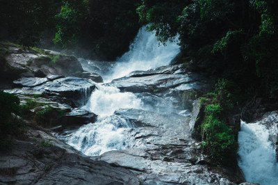
Amirthi Zoological Waterfalls
Some quick example text to build on the card title and make up the bulk of the card's content.
Go somewhere
Bappu Vainu Observatory
Some quick example text to build on the card title and make up the bulk of the card's content.
Go somewhere
Burla View Point
Some quick example text to build on the card title and make up the bulk of the card's content.
Go somewhere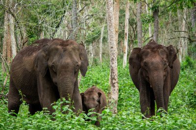
Cloud Forest Entertainment Park
Some quick example text to build on the card title and make up the bulk of the card's content.
Go somewhere
Fundera Park
Some quick example text to build on the card title and make up the bulk of the card's content.
Go somewhere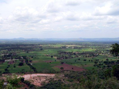
Government Herbal Farm
Some quick example text to build on the card title and make up the bulk of the card's content.
Go somewhere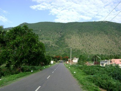
Government Silk Farm
Some quick example text to build on the card title and make up the bulk of the card's content.
Go somewhere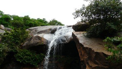
Jalagamparai Waterfalls
Some quick example text to build on the card title and make up the bulk of the card's content.
Go somewhere
Jalakanda Parameswari Temple
Some quick example text to build on the card title and make up the bulk of the card's content.
Go somewhere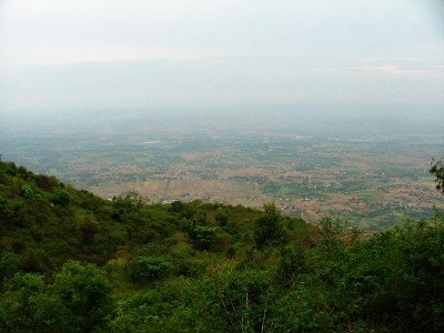
Moksha Vimochana Temple
Some quick example text to build on the card title and make up the bulk of the card's content.
Go somewhere
Murugan Temple
Some quick example text to build on the card title and make up the bulk of the card's content.
Go somewhere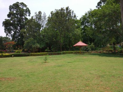
Nature Park
Some quick example text to build on the card title and make up the bulk of the card's content.
Go somewhere
Nilavoor Cliff View Point
Some quick example text to build on the card title and make up the bulk of the card's content.
Go somewhere
Nilavoor Lake
Some quick example text to build on the card title and make up the bulk of the card's content.
Go somewhere
Palamathi Hills
Some quick example text to build on the card title and make up the bulk of the card's content.
Go somewhere
Perumal Temple
Some quick example text to build on the card title and make up the bulk of the card's content.
Go somewhere