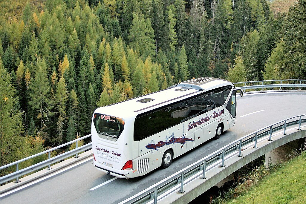
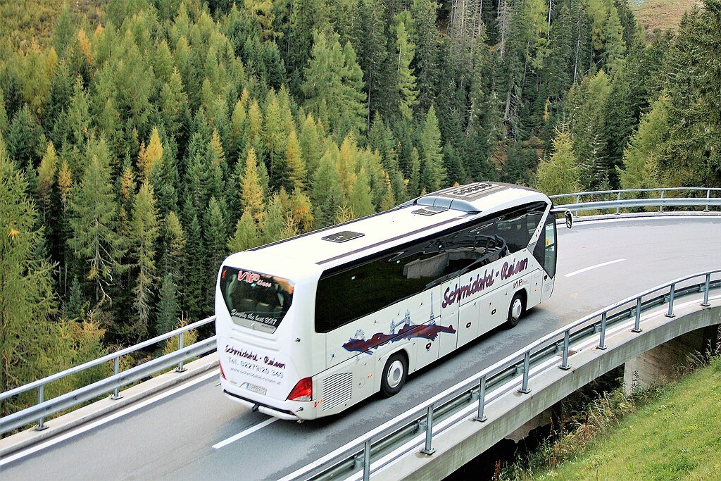
Green Landscape of Meluri
General information
-
Ideal Duration:
4-8 hours (for a moderate day trek) or 2-5 days (for multi-day excursions):Place Type:
Adventure, Nature, Trekking:Entry Fees:
Forest Permit Fee: A minimal fee might be required by the local Village Council or Forest Department for organized trekking groups to enter and camp in certain conserved areas. This fee typically ranges from Rs.50 to Rs.100 per person per day. :
Gui...Forest Permit Fee: A minimal fee might be required by the local Village Council or Forest Department for organized trekking groups to enter and camp in certain conserved areas. This fee typically ranges from Rs.50 to Rs.100 per person per day. :
Guide Fee: Hiring a mandatory local guide is an essential cost and investment, ranging from Rs.1000 to Rs.2500 per day, depending on the route difficulty and duration. :
Camera/Photography Fee: While generally absent, in extremely restricted or protected zones, the Village Council may charge a small fee (e. g. , Rs.50-Rs.200) for professional-grade cameras or video equipment, especially if the footage is intended for commercial use. :Timing:
Regular Timings: The trekking routes are accessible 24 hours a day, but safety dictates hiking only between Sunrise (approx. 5:00 AM) and Sunset (approx. 5:30 PM). :
Ideal Visit Time: Early Morning (5:30 AM to 9:00 AM) is best for capturing...Regular Timings: The trekking routes are accessible 24 hours a day, but safety dictates hiking only between Sunrise (approx. 5:00 AM) and Sunset (approx. 5:30 PM). :
Ideal Visit Time: Early Morning (5:30 AM to 9:00 AM) is best for capturing the morning mist, bird watching, and avoiding the mid-day sun, while Late Afternoon (3:00 PM to 5:30 PM) is perfect for golden hour photography and cooler temperatures. :
Closed Seasons: Trekking is extremely challenging and often discouraged during the peak Monsoon (July and August) due to landslides, slick trails, and leeches. :Special Events:
Nazu Festival Treks: During the Nazu Festival (celebrated annually in February) and the surrounding days, specific traditional treks are performed, often marked by traditional rituals at key points, offering a unique cultural-adventure blend. :
L...Nazu Festival Treks: During the Nazu Festival (celebrated annually in February) and the surrounding days, specific traditional treks are performed, often marked by traditional rituals at key points, offering a unique cultural-adventure blend. :
Local Village Sporting Events: Occasional indigenous sporting events, such as archery or spear throwing, take place in the larger village grounds, which trekkers might witness. :Best Photo Spots:
Zanibu Peak Summit: The summit offers a 360-degree panorama of the green landscape, perfect for wide-angle shots of the entire valley and distant mountain ranges. :
Terraced Rice Fields: The intricate patterns of the terraced fields carved in...Zanibu Peak Summit: The summit offers a 360-degree panorama of the green landscape, perfect for wide-angle shots of the entire valley and distant mountain ranges. :
Terraced Rice Fields: The intricate patterns of the terraced fields carved into the hillsides, especially during the pre-harvesting month of October when they turn golden-yellow. :
Forest Canopy Dappled Light: The paths beneath the thick, tall canopy where the sunlight breaks through, creating dramatic light and shadow play, ideal for artistic compositions. :
Sunrise/Sunset Viewpoints: Any high-altitude viewpoint (e. g. , Meluri View Point) during the golden hours, capturing the mist rising from the valley floor. :Photo Gallery
Things To Do
-
Trekking and Hiking: Explore the challenging trails, focusing on routes towards Zanibu Peak for the best vantage point of the entire region. :
Bird Watching: The thick forests are a haven for endemic bird species; carry binoculars and hike quietly in the early morning for the best sightings. :
Guided Nature Walks: Hire a local Pochury guide to learn about traditional medicinal plants, hunting practices, and the folklore associated with the forest and its features. :
Photography: Focus on capturing the undulating terraced fields, the mist-covered peaks in the morning, and the vibrant colors of the forest floor, especially the sun filtering through the dense canopy. :
Forest Camping: For multi-day trekkers, set up camp in designated c...Trekking and Hiking: Explore the challenging trails, focusing on routes towards Zanibu Peak for the best vantage point of the entire region. :
Bird Watching: The thick forests are a haven for endemic bird species; carry binoculars and hike quietly in the early morning for the best sightings. :
Guided Nature Walks: Hire a local Pochury guide to learn about traditional medicinal plants, hunting practices, and the folklore associated with the forest and its features. :
Photography: Focus on capturing the undulating terraced fields, the mist-covered peaks in the morning, and the vibrant colors of the forest floor, especially the sun filtering through the dense canopy. :
Forest Camping: For multi-day trekkers, set up camp in designated clearings or near a stream (with permission) for a truly immersive overnight wilderness experience. :
Community Interaction: Engage with the local villagers in the hamlets encountered along the way to understand their sustainable lifestyle and offer a respectful cultural exchange. :
Sunset Viewing: Reach a high ridge point before sunset to witness the dramatic light and shadows cast over the green landscape. :
Information
-
Why Famous:
Natural Beauty: The fame of the Green Landscape lies in its untouched, raw beauty and being the home turf of the fierce and proud Pochury tribe, offering an authentic wilderness experience distinct from the more commercialized trekking spots in Nagaland. :
Read MoreNatural Beauty: The fame of the Green Landscape lies in its untouched, raw beauty and being the home turf of the fierce and proud Pochury tribe, offering an authentic wilderness experience distinct from the more commercialized trekking spots in Nagaland. :
Cultural Immersion: It is famous as a window into the traditional life of the Pochury people, where land conservation and ancestral practices are still the norm, unlike the impact of modernization seen elsewhere. :
Endemic Flora: The possibility of encountering endemic flowers and plants, especially during the post-monsoon bloom, adds to its unique reputation. :Architecture:
Natural Architecture: The architecture of this landscape is entirely natural, featuring steep inclines and gradual slopes that challenge hikers. :
Dimension of Nature: The area covers hundreds of square kilometers of untouched forest, with al...Natural Architecture: The architecture of this landscape is entirely natural, featuring steep inclines and gradual slopes that challenge hikers. :
Dimension of Nature: The area covers hundreds of square kilometers of untouched forest, with altitude variations ranging from 1,500m to over 2,500m at the highest peaks near Meluri's jurisdiction, such as Mount Zanibu. :
Trail Composition: The natural trails are composed of compact forest soil, rocky outcrops, and occasional sections of slick mud, especially during the monsoon season. Traditional stone steps can be found near village entry points and ancient routes, showcasing indigenous engineering to manage mountainous terrain. :
Water Features: Seasonal waterfalls and clear, cold mountain streams, tributaries of the Tizu River, crisscross the trekking routes, providing natural resting spots and water sources (requires purification). :How To Reach:
By Air: The nearest major airport is Dimapur Airport (DMU), approximately 300-350 KMS from Meluri. From the airport, one must hire a pre-booked taxi or take a shared taxi/bus to Kohima, and then another transport to Meluri. :
By Train: The n...By Air: The nearest major airport is Dimapur Airport (DMU), approximately 300-350 KMS from Meluri. From the airport, one must hire a pre-booked taxi or take a shared taxi/bus to Kohima, and then another transport to Meluri. :
By Train: The nearest railhead is Dimapur Railway Station (DM) approx. 300 KMS away. The remaining journey to Meluri must be completed by road via Kohima or Phek. :
By Road: Meluri is connected by road, though the conditions can be poor, especially during the monsoon. One can take a public bus or a hired Sumo taxi from Kohima (approx. 150 KMS) or Phek to Meluri Town Centre, which serves as the starting point for most treks. :
By Local Transport: Within Meluri, the trekking points are reached either by walking or by hiring a local taxi/jeep for the first few kilometers of the route. For the remote trails, walking is the only option. :Weather and Best Time to Visit:
Season - Winter (October to March): This is the Best Time to Visit for trekking, as the weather is cool, skies are clear, and the views are sharp, making for comfortable hiking. :
Season - Summer (April to June): This period is characterized ...Season - Winter (October to March): This is the Best Time to Visit for trekking, as the weather is cool, skies are clear, and the views are sharp, making for comfortable hiking. :
Season - Summer (April to June): This period is characterized by pleasant, moderate temperatures and lush greenery, though occasional pre-monsoon showers can be expected. :
Part of the Day - Sunrise Hours: Sunrise (5:00 AM to 7:00 AM) is the most magical time to capture the mist and the rising sun illuminating the peaks. :
Part of the Day - Mid-day Hours: Mid-day (10:00 AM to 2:00 PM) should be avoided for strenuous activity due to the sun and heat, ideal for rest or village visits. :Near Tourist Places:
Lake Changjebok (35 KMS) Tizu River Angling Spot (15-20 KMS) Shilloi Lake (70 KMS) Phokhungri Village (30 KMS) Avakhung Trade Centre (55 KMS) Phek Town (90 KMS) Dzükou Valley (Base is further, approx. 180 KMS) Khezhakeno Village (130 KMS) Mt. Saramati (Farther, approx. 170 KMS) Mela Chingri (45 KMS)Tourism Tips
-
Health & safety: Always hire a reliable local Pochury guide, carry a detailed map/GPS, and notify your homestay or the Village Council of your planned route and expected return time. Carry a basic medical kit, rehydration salts, and necessary prescription medications. :
...Health & safety: Always hire a reliable local Pochury guide, carry a detailed map/GPS, and notify your homestay or the Village Council of your planned route and expected return time. Carry a basic medical kit, rehydration salts, and necessary prescription medications. :
Packing: Pack layered, quick-drying clothing suitable for varying mountain weather, sturdy waterproof trekking boots, rain gear, a hat, sunscreen, insect repellent, and a powerful flashlight or headlamp. :
Accommodation: In Meluri Town, accommodation options are limited to basic guesthouses and homestays; pre-book your stay, especially during festival times. Camping on the trail requires local permission. :
Respect Local Customs: The Pochury tribe has a strong sense of tradition. Dress modestly, always ask permission before taking photos of people or private property, and respect local conservation efforts (e. g. , not littering or disturbing wildlife). :
Reviews
FAQs
Meluri Itineray And Cost:-
Green Landscape of Meluri Tourism:-
Other Places In Meluri :-
Other States In India :-
Information about New and Updated Locations() of Nagaland Has Been Added :-
Card subtitle
Note:-
Information provided here in good Faith and for reference only.
Near Places
Fakim Wildlife Sanctuary
Some quick example text to build on the card title and make up the bulk of the card's content.
Go somewhere
Green Landscape of Meluri
Some quick example text to build on the card title and make up the bulk of the card's content.
Go somewhere
Kewhira Village
Some quick example text to build on the card title and make up the bulk of the card's content.
Go somewhere
Khezhakeno Village
Some quick example text to build on the card title and make up the bulk of the card's content.
Go somewhere
Lake Changjebok
Some quick example text to build on the card title and make up the bulk of the card's content.
Go somewhere
Leshemi Village
Some quick example text to build on the card title and make up the bulk of the card's content.
Go somewhere
Meluri Baptist Church
Some quick example text to build on the card title and make up the bulk of the card's content.
Go somewhere
Meluri Cultural Hall
Some quick example text to build on the card title and make up the bulk of the card's content.
Go somewhere
Meluri Town Centre
Some quick example text to build on the card title and make up the bulk of the card's content.
Go somewhere
Meluri View Point
Some quick example text to build on the card title and make up the bulk of the card's content.
Go somewhere
Mount Saramati
Some quick example text to build on the card title and make up the bulk of the card's content.
Go somewhere
Pokhungri Peak
Some quick example text to build on the card title and make up the bulk of the card's content.
Go somewhere
Satoi Range Wildlife Sanctuary
Some quick example text to build on the card title and make up the bulk of the card's content.
Go somewhere
Tizu River Angling Spot
Some quick example text to build on the card title and make up the bulk of the card's content.
Go somewhere
Tizu River Experience
Some quick example text to build on the card title and make up the bulk of the card's content.
Go somewherein Other Cities