
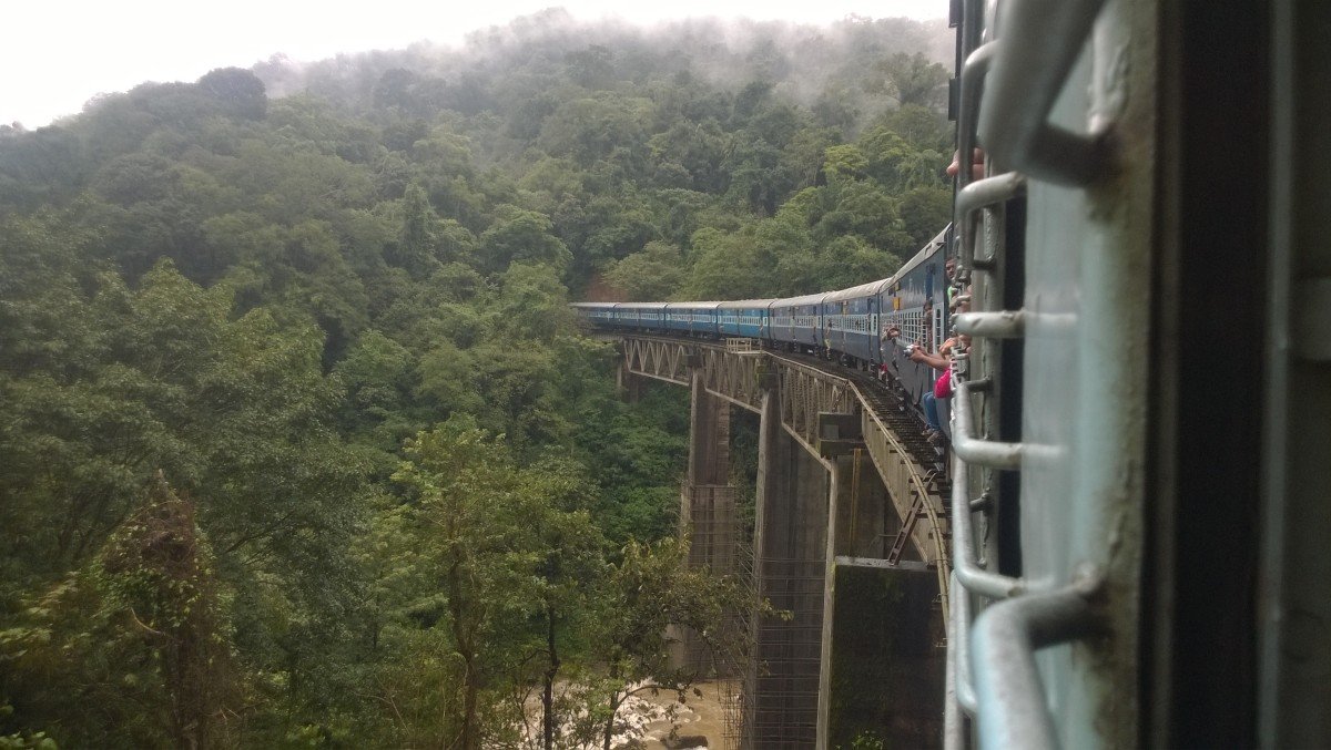
Ombattu Gudda Hill
General information
-
Ideal Duration:
1 to 2 DaysPlace Type:
Adventure Trekking & PeakEntry Fees:
Permit Fees: Trekkers must obtain a mandatory permit from the Karnataka Forest Department, which costs around 500 INR per person.
Guide Charges: Hiring a mandatory professional guide is required for safety, usually costing between 1500 to 25...Permit Fees: Trekkers must obtain a mandatory permit from the Karnataka Forest Department, which costs around 500 INR per person.
Guide Charges: Hiring a mandatory professional guide is required for safety, usually costing between 1500 to 2500 INR per group.Timing:
Regular Timings: Trekking is only permitted between 06:00 AM and 06:00 PM; camping on the summit requires special written permission.
Ideal Visit Time: Start the trek at 05:30 AM to ensure you reach the summit and return before the forest g...Regular Timings: Trekking is only permitted between 06:00 AM and 06:00 PM; camping on the summit requires special written permission.
Ideal Visit Time: Start the trek at 05:30 AM to ensure you reach the summit and return before the forest gets dark and dangerous.Special Events:
Deepavali Lights: During the festival of October/November, trekkers sometimes light a single lamp at the base to honor the forest spirits.
World Environment Day: Local trekking groups often conduct "Clean-up Treks" in June to remove any non-...Deepavali Lights: During the festival of October/November, trekkers sometimes light a single lamp at the base to honor the forest spirits.
World Environment Day: Local trekking groups often conduct "Clean-up Treks" in June to remove any non-biodegradable waste from the trails.Best Photo Spots:
The Nine Humps: Take a panoramic shot from a distance to capture all nine ridges of the hill in a single, impressive frame.
River Crossing Action: Capture the adventurous spirit of your group as they cross the river with the dark green fores...The Nine Humps: Take a panoramic shot from a distance to capture all nine ridges of the hill in a single, impressive frame.
River Crossing Action: Capture the adventurous spirit of your group as they cross the river with the dark green forest in the background.
Summit Success: A photo at the highest point of the ninth hump with the vast valley behind is the ultimate trophy for any trekker.Photo Gallery
Things To Do
-
Multi-Day Trekking: Organize a guided expedition to the summit, involving an overnight stay in a tent under the starlit mountain sky.
River Wading: Experience the thrill of crossing the Kabbinale River, carefully navigating the slippery stones and flowing currents.
Wildlife Spotting: Keep a silent watch for sightings of barking deer, Malabar giant squirrels, and various species of colorful jungle fowl.
Mountain Navigation: Use a compass or GPS to practice navigation skills in the dense forest where trails can often be obscured by growth.
Sunrise Photography: Be at the summit at dawn to see the sun rise over a literal sea of clouds, a view that is often compared to the Himalayas.
Botanical Study: ...Multi-Day Trekking: Organize a guided expedition to the summit, involving an overnight stay in a tent under the starlit mountain sky.
River Wading: Experience the thrill of crossing the Kabbinale River, carefully navigating the slippery stones and flowing currents.
Wildlife Spotting: Keep a silent watch for sightings of barking deer, Malabar giant squirrels, and various species of colorful jungle fowl.
Mountain Navigation: Use a compass or GPS to practice navigation skills in the dense forest where trails can often be obscured by growth.
Sunrise Photography: Be at the summit at dawn to see the sun rise over a literal sea of clouds, a view that is often compared to the Himalayas.
Botanical Study: Observe the transition of vegetation from the dense evergreen forest at the base to the shola grasslands at the top.
Survival Skills Practice: Learn how to set up a sustainable campsite and manage resources while in a remote forest environment.
Information
-
Why Famous:
Challenging Terrain: It is famous among the trekking community as a "Bucket List" hike that tests endurance and navigational skills.
Nine Ridges: The unique physical formation of nine peaks in a row is a rare geographical feature that gives ...Challenging Terrain: It is famous among the trekking community as a "Bucket List" hike that tests endurance and navigational skills.
Nine Ridges: The unique physical formation of nine peaks in a row is a rare geographical feature that gives the hill its iconic identity. -
Architecture:
Natural Topography: The "architecture" of this site is entirely geological, featuring nine successive ridges that rise to an elevation of about 971 meters.
Trek Trail Dimensions: The total trekking distance is approximately 18 to 22 KMS (ro...Natural Topography: The "architecture" of this site is entirely geological, featuring nine successive ridges that rise to an elevation of about 971 meters.
Trek Trail Dimensions: The total trekking distance is approximately 18 to 22 KMS (round trip), with steep inclines reaching up to 45 degrees.
Summit Area: The top is a vast grassy plateau that spans several acres, providing ample space for weary trekkers to rest and take in the views. -
How To Reach:
By Air: Fly to Mangalore (IXE); it is the closest airport, about 100 KMS from the Gundya check post where the trek begins.
By Train: Take a train to Sakleshpur or Subramanya Road Station; both are convenient points to hire a jeep to reach ...By Air: Fly to Mangalore (IXE); it is the closest airport, about 100 KMS from the Gundya check post where the trek begins.
By Train: Take a train to Sakleshpur or Subramanya Road Station; both are convenient points to hire a jeep to reach the base camp.
By Road: Drive on the Bangalore-Mangalore Highway to Gundya; there are several spots to park your vehicle near the forest check post.
By Local Transport: KSRTC buses running between Bangalore and Mangalore stop at Gundya, providing easy access for solo backpackers. -
Weather and Best Time to Visit:
Post-Monsoon (Oct-Dec): This is the best time as the weather is cool, the water levels in the river are manageable, and the views are clear.
Early Summer (Jan-Mar): Good for those who want to avoid the rain, though the grasslands turn golden...Post-Monsoon (Oct-Dec): This is the best time as the weather is cool, the water levels in the river are manageable, and the views are clear.
Early Summer (Jan-Mar): Good for those who want to avoid the rain, though the grasslands turn golden and the weather can be quite hot during the day.
Avoid Peak Monsoon: Trekking in July and August is extremely dangerous due to leeches, flash floods, and very slippery steep slopes. -
Near Tourist Places:
Gundya (2 KMS), Kukke Subramanya (25 KMS), Bisle View Point (30 KMS), Donigal (35 KMS), Manjarabad Fort (40 KMS), Sakleshwara Temple (45 KMS), Mallalli Falls (50 KMS), Pushpagiri (35 KMS), Dharmasthala (55 KMS), Shirady Ghat (10 KMS).
Tourism Tips
-
Health & Safety: Never attempt this trek without an experienced local guide, as it is very easy to get lost in the dense, pathless forest.
Packing: Carry at least 3 liters of water, high-energy snacks, a first-aid kit, and sturdy trekking bo...Health & Safety: Never attempt this trek without an experienced local guide, as it is very easy to get lost in the dense, pathless forest.
Packing: Carry at least 3 liters of water, high-energy snacks, a first-aid kit, and sturdy trekking boots with excellent ankle support.
Accommodation: Stay at the forest guest house in Gundya or a nearby homestay in Sakleshpur the night before you start your trek.
Cash & Connectivity: There is no mobile signal once you enter the forest; carry enough cash for the guide and forest department fees at the entry.
Reviews
FAQs
Sakleshpur Itineray And Cost:-
Ombattu Gudda Hill Tourism:-
Other Places In Sakleshpur :-
Other States In India :-
Information about New and Updated Locations() of Karnataka Has Been Added :-
Card subtitle
Note:-
Information provided here in good Faith and for reference only.
Near Places

Agni Gudda Hill
Some quick example text to build on the card title and make up the bulk of the card's content.
Go somewhere
Arekere Sun Set Viewpoint
Some quick example text to build on the card title and make up the bulk of the card's content.
Go somewhere
Betta Byraveshwara Temple
Some quick example text to build on the card title and make up the bulk of the card's content.
Go somewhere
Bisle Reserve Forest & View Point
Some quick example text to build on the card title and make up the bulk of the card's content.
Go somewhere
Coco Waterfall
Some quick example text to build on the card title and make up the bulk of the card's content.
Go somewhere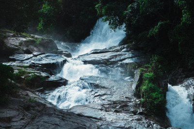
Dhoda Hadalu Water Falls
Some quick example text to build on the card title and make up the bulk of the card's content.
Go somewhere
Donigal Small Falls
Some quick example text to build on the card title and make up the bulk of the card's content.
Go somewhere
Green Route Railway Trek
Some quick example text to build on the card title and make up the bulk of the card's content.
Go somewhere
Jenukal Gudda
Some quick example text to build on the card title and make up the bulk of the card's content.
Go somewhere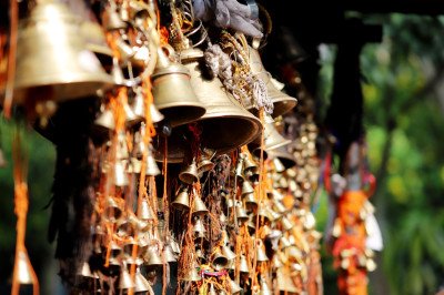
Kukke Subrahmanya Temple
Some quick example text to build on the card title and make up the bulk of the card's content.
Go somewhere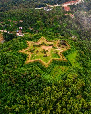
Manjarabad Fort
Some quick example text to build on the card title and make up the bulk of the card's content.
Go somewhere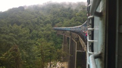
Manjehalli Waterfalls
Some quick example text to build on the card title and make up the bulk of the card's content.
Go somewhere
Misty Mountains View Point
Some quick example text to build on the card title and make up the bulk of the card's content.
Go somewhere
Mookanamane Falls
Some quick example text to build on the card title and make up the bulk of the card's content.
Go somewhere
Ombattu Gudda Hill
Some quick example text to build on the card title and make up the bulk of the card's content.
Go somewhere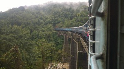
Pandavar Gudda
Some quick example text to build on the card title and make up the bulk of the card's content.
Go somewherein Other Cities