Lhonak Valley
General information
-
Ideal Duration:
2-3 Days (Trekking)Place Type:
High-Altitude Trekking/PlateauEntry Fees:
Special Permit Fee: Entry requires a Restricted Area Permit (RAP) for the area beyond Thangu. The fees are variable, included in the trekking package, and are obtained via the Tourism Department/Army.
Guide/Porter Fees: Mandatory for trekki...Special Permit Fee: Entry requires a Restricted Area Permit (RAP) for the area beyond Thangu. The fees are variable, included in the trekking package, and are obtained via the Tourism Department/Army.
Guide/Porter Fees: Mandatory for trekking. Costs depend on the duration (2-5 days) and size of the group. No general public Entry Fee.Timing:
Regular Timings: Daylight Hours are best for trekking and travel (6:00 AM - 4:00 PM). Overnight stays are mandatory for the full experience.
Ideal Visit Time: The trek is generally accessible from May to October. The months of September an...Regular Timings: Daylight Hours are best for trekking and travel (6:00 AM - 4:00 PM). Overnight stays are mandatory for the full experience.
Ideal Visit Time: The trek is generally accessible from May to October. The months of September and October offer the clearest views, while May and June offer the best chances for wildflowers.
Winter Timing: The valley is completely inaccessible due to heavy snow from November to March.Special Events:
Drukpa Teshi Festival: The valley is popular for an annual, traditional Yak Race held by the nomadic tribes during the summer festival of Drukpa Teshi (July/August), a unique cultural spectacle.
Military-Civilian Games: Occasionally, informa...Drukpa Teshi Festival: The valley is popular for an annual, traditional Yak Race held by the nomadic tribes during the summer festival of Drukpa Teshi (July/August), a unique cultural spectacle.
Military-Civilian Games: Occasionally, informal sports or cultural events are organized by the resident army units and local herders, but these are not publicly announced.Best Photo Spots:
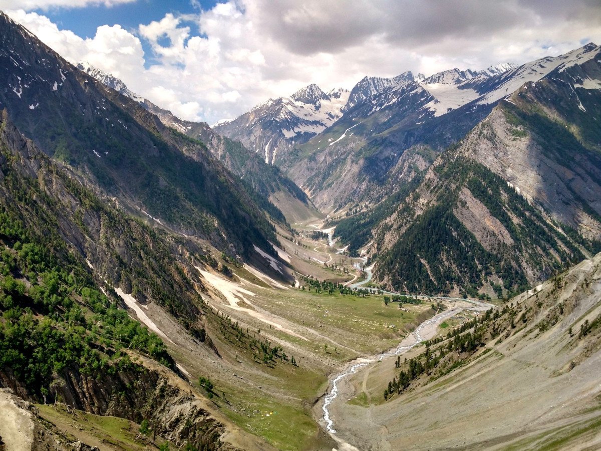
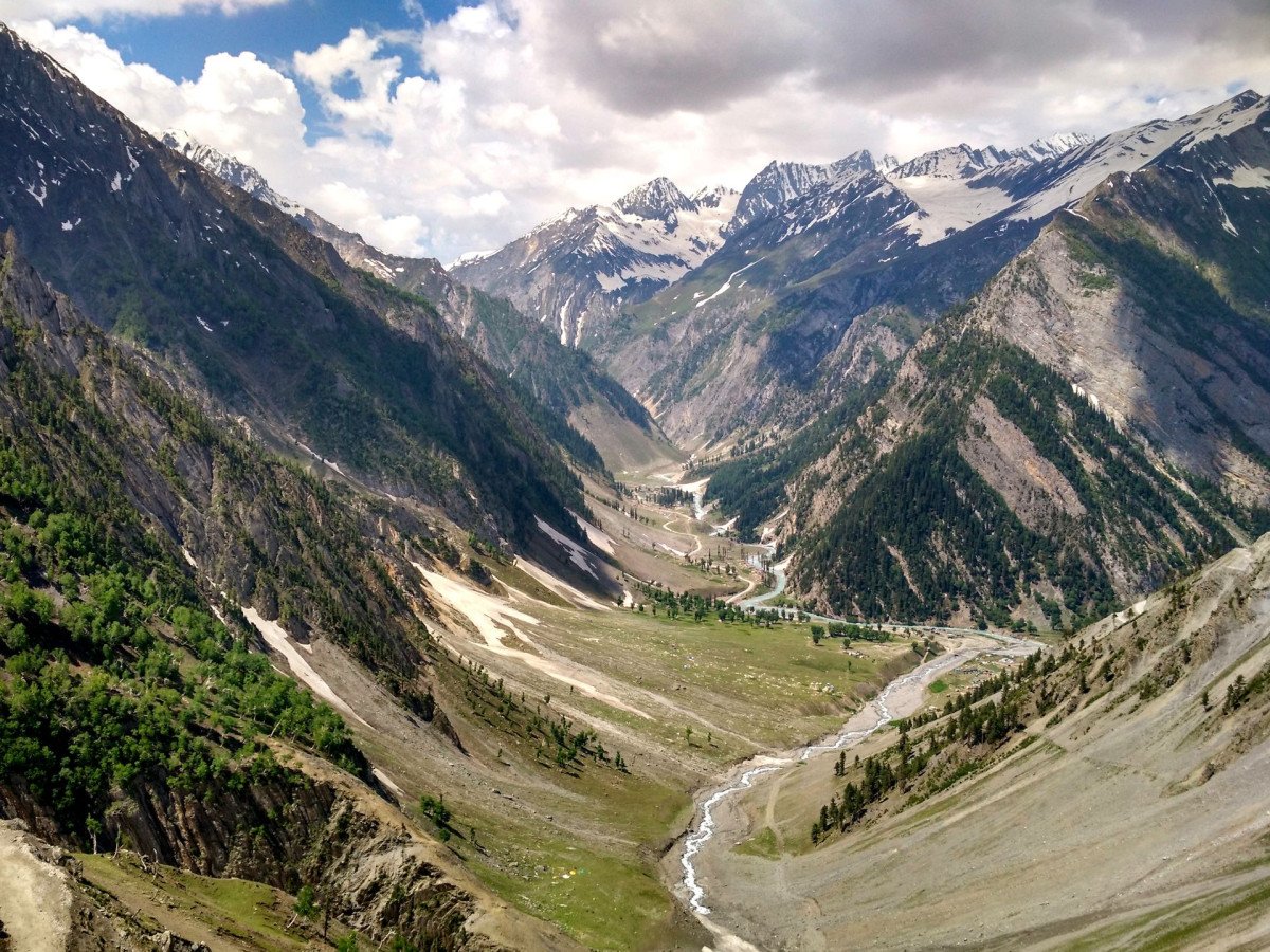
The Goma Chu River Meanders: The wide, braided river flowing through the flat valley floor, reflecting the distant peaks.
Lhonak La Pass View: The commanding view of the entire valley and the surrounding high mountain ranges from the vantage...The Goma Chu River Meanders: The wide, braided river flowing through the flat valley floor, reflecting the distant peaks.
Lhonak La Pass View: The commanding view of the entire valley and the surrounding high mountain ranges from the vantage point of the pass.
Yak Grazing Grounds: Fields dotted with yaks, set against the backdrop of massive, unnamed peaks.
Barren Slopes with Snow Patches: The stark contrast between the ochre ground and the white snow, best captured at sunrise.Photo Gallery
Things To Do
-
Trekking and Expedition: Undertake the multi-day trek from Thangu or Chopta (requires special guide and permits).
High-Altitude Wildlife Spotting: Look for Blue Sheep (Bharal) grazing on the slopes and various high-altitude migratory birds.
Photography of Barren Landscapes: Capture the stark beauty, the endless stretches of grass, and the contrast of snow-capped peaks against the plateau sky.
Camping: Overnight camping in designated areas with proper gear is an essential experience for truly soaking in the environment.
Stargazing: Due to the extreme altitude and lack of light pollution, the valley offers one of the best stargazing experiences in the Himalayas.
Observing Nomadic Life: Witnessing t...Trekking and Expedition: Undertake the multi-day trek from Thangu or Chopta (requires special guide and permits).
High-Altitude Wildlife Spotting: Look for Blue Sheep (Bharal) grazing on the slopes and various high-altitude migratory birds.
Photography of Barren Landscapes: Capture the stark beauty, the endless stretches of grass, and the contrast of snow-capped peaks against the plateau sky.
Camping: Overnight camping in designated areas with proper gear is an essential experience for truly soaking in the environment.
Stargazing: Due to the extreme altitude and lack of light pollution, the valley offers one of the best stargazing experiences in the Himalayas.
Observing Nomadic Life: Witnessing the traditional lifestyle of the Lachenpa yak herders and their temporary settlements.
Geology Study: Observing the unique glacial deposits, moraines, and the powerful erosion that formed the wide valley floor.
Information
-
Why Famous:
Proximity to Kangchenjunga: It is the gateway region to some of the highest and most remote peaks in the Kangchenjunga massif, offering unrivaled, massive views.
Trans-Himalayan Ecosystem: It is famous for its unique grassland and high-altit...Proximity to Kangchenjunga: It is the gateway region to some of the highest and most remote peaks in the Kangchenjunga massif, offering unrivaled, massive views.
Trans-Himalayan Ecosystem: It is famous for its unique grassland and high-altitude wetland ecosystem, which is a rare sight in the more monsoon-influenced regions of Sikkim.
Source of the Teesta: The valley is a critical area for the headwaters of the Teesta River, one of the largest rivers in the region.
Rare Wildlife: It is an important habitat for rare wildlife like the Tibetan Gazelle, Blue Sheep, and occasionally the Snow Leopard. -
Architecture:
Nomadic Structures: The 'architecture' here consists primarily of temporary, semi-permanent stone and wooden shelters used by Tibetan nomads (Bhutias) and yak herders during the summer grazing season. These structures are simple, low-lying, and designed to withstand high wi...Nomadic Structures: The 'architecture' here consists primarily of temporary, semi-permanent stone and wooden shelters used by Tibetan nomads (Bhutias) and yak herders during the summer grazing season. These structures are simple, low-lying, and designed to withstand high winds and heavy snow.
Dimension and Design: The structures are generally small, single-room stone enclosures, often no larger than 10 ft x 15 ft, with low wooden roofs, built into the landscape to minimize exposure. They feature minimal openings for heat retention. The entire valley itself is a massive geological structure, a wide, exposed river valley carved by the Goma Chu river, representing a unique, high-altitude ecosystem, distinct from the forested valleys lower down. -
How To Reach:
By Air: Nearest airport is Bagdogra Airport (IXB) (195-200 KMS). From IXB, hire a private taxi to Gangtok, and then arrange a permitted vehicle to Lachen.
By Train: Nearest railhead is New Jalpaiguri (NJP) (190-195 KMS). Follow the same ro...By Air: Nearest airport is Bagdogra Airport (IXB) (195-200 KMS). From IXB, hire a private taxi to Gangtok, and then arrange a permitted vehicle to Lachen.
By Train: Nearest railhead is New Jalpaiguri (NJP) (190-195 KMS). Follow the same route as By Air to reach Lachen.
By Road: Drive from Lachen to Thangu (35-40 KMS). From Thangu, it is a multi-day trek of approximately 20-25 KMS to the valley. The vehicular road ends before the true trek begins.
By Local Transport: Highly restricted; only authorized trekkers with mandatory guides/porters can proceed from the final road head. -
Weather and Best Time to Visit:
Late Spring (May to June): Wildflowers are in bloom, and temperatures are bearable for camping.
Autumn (September to October): Crystal clear skies offer the most spectacular mountain views, though it is very cold.
Read MoreLate Spring (May to June): Wildflowers are in bloom, and temperatures are bearable for camping.
Autumn (September to October): Crystal clear skies offer the most spectacular mountain views, though it is very cold.
Different Parts of the Day: Early Morning for spectacular light and clear views of the high peaks before potential cloud cover rolls in.Near Tourist Places:
Chopta Valley (20 KMS), Thangu Valley (24 KMS), Gurudongmar Lake (51 KMS), Tso Lhamo Lake (65 KMS), Green Lake Trek Base Camp (Trek Origin), Kanchenjunga National Park, Yumesamdong (Zero Point) (90 KMS - via Lachung side), Lachen Monastery (60 KMS), Lachung (86 KMS), Lachung Valley.Tourism Tips
-
Health & Safety: Mandatory acclimatization in Lachen and Thangu to prevent Acute Mountain Sickness (AMS). Carry oxygen cylinders and first-aid.
Packing: Heavy-duty winter gear, including multi-layer thermal clothing, a good quality sleeping...Health & Safety: Mandatory acclimatization in Lachen and Thangu to prevent Acute Mountain Sickness (AMS). Carry oxygen cylinders and first-aid.
Packing: Heavy-duty winter gear, including multi-layer thermal clothing, a good quality sleeping bag, and waterproof trekking boots.
Accommodation: Stay in homestays in Lachen or Thangu; Tented camping in the valley itself.
Other Different Topics: Indian Army permission is essential. Carry ample high-energy food and water purification tablets.
Reviews
FAQs
Lachen Itineray And Cost:-
Other Places In Lachen :-
Other States In India :-
Information about New and Updated Locations() of Sikkim Has Been Added :-
Card subtitle
Note:-
Information provided here in good Faith and for reference only.
Near Places
Chopta Valley
Some quick example text to build on the card title and make up the bulk of the card's content.
Go somewhere
Dzongu Valley
Some quick example text to build on the card title and make up the bulk of the card's content.
Go somewhere
East Upper Gurudongmar Lake
Some quick example text to build on the card title and make up the bulk of the card's content.
Go somewhere
Green Lake Trek Start Point
Some quick example text to build on the card title and make up the bulk of the card's content.
Go somewhere
Gurudongmar Lake
Some quick example text to build on the card title and make up the bulk of the card's content.
Go somewhere
Hot Springs
Some quick example text to build on the card title and make up the bulk of the card's content.
Go somewhere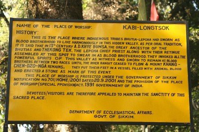
Kabi Longstok
Some quick example text to build on the card title and make up the bulk of the card's content.
Go somewhere
Kalapatthar
Some quick example text to build on the card title and make up the bulk of the card's content.
Go somewhere
Kanchenjunga View Point
Some quick example text to build on the card title and make up the bulk of the card's content.
Go somewhere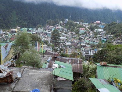
Lachen
Some quick example text to build on the card title and make up the bulk of the card's content.
Go somewhere
Lachen Monastery
Some quick example text to build on the card title and make up the bulk of the card's content.
Go somewhere
Lachen River Bed
Some quick example text to build on the card title and make up the bulk of the card's content.
Go somewhere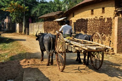
Lachen Village
Some quick example text to build on the card title and make up the bulk of the card's content.
Go somewhere
Lhonak Valley
Some quick example text to build on the card title and make up the bulk of the card's content.
Go somewhere
Muguthang Valley
Some quick example text to build on the card title and make up the bulk of the card's content.
Go somewhere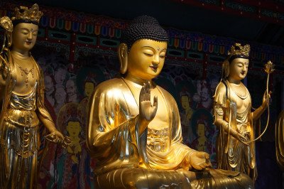
Phodong Monastery
Some quick example text to build on the card title and make up the bulk of the card's content.
Go somewherein Other Cities