

Satnala Project
General information
-
Ideal Duration:
2 to 3 HoursPlace Type:
Dam & Picnic SpotEntry Fees:
Free Access: There is generally no entry fee to visit the Satnala Project as it is a public irrigation site. Visitors are allowed to walk on the dam during official hours. Small fees might apply if any temporary stalls or boat rides are active during the peak tourist seaso...Free Access: There is generally no entry fee to visit the Satnala Project as it is a public irrigation site. Visitors are allowed to walk on the dam during official hours. Small fees might apply if any temporary stalls or boat rides are active during the peak tourist season.Timing:
Standard Hours: The dam area is open to the public from 09:00 AM to 06:00 PM. The best time to visit is during the early morning for bird watching or late afternoon to enjoy the cool breeze. The project is most beautiful during the monsoon and early winter months. ...Standard Hours: The dam area is open to the public from 09:00 AM to 06:00 PM. The best time to visit is during the early morning for bird watching or late afternoon to enjoy the cool breeze. The project is most beautiful during the monsoon and early winter months.Special Events:
World Water Day: On March 22nd, local irrigation officials sometimes conduct awareness programs about water conservation. However, the unofficial 'event' is the opening of the crest gates during the peak monsoon, which attracts thousands of people from nearby towns to witne...World Water Day: On March 22nd, local irrigation officials sometimes conduct awareness programs about water conservation. However, the unofficial 'event' is the opening of the crest gates during the peak monsoon, which attracts thousands of people from nearby towns to witness the powerful force of the rushing water.Best Photo Spots:
The Reservoir Rim: The best photo spot is along the edge of the reservoir where the water meets the sky. For architectural shots, the spillway gate area provides a sense of scale. The lush greenery surrounding the dam during the months of August and September makes for a p...The Reservoir Rim: The best photo spot is along the edge of the reservoir where the water meets the sky. For architectural shots, the spillway gate area provides a sense of scale. The lush greenery surrounding the dam during the months of August and September makes for a perfect green backdrop for portraits.Photo Gallery
Things To Do
-
Leisure and Sightseeing:
Dam Walk: Walking along the 1. 8 KM long bund offers fresh air and great views of the reservoir.
Photography: The contrast between the blue water and green forest provides excellent landscape shots.
Boating: Occasionally, local authorities or private operators provide small boating facilities during peak seasons.
Fishing: Observe local fishermen at work or try your hand at angling in the designated areas.
Bird Watching: The reservoir attracts many migratory birds during the winter months.
Picnicking: There are open spaces near the dam suitable for family lunches and relaxation.
Educational Visits: Students...Leisure and Sightseeing:
Dam Walk: Walking along the 1. 8 KM long bund offers fresh air and great views of the reservoir.
Photography: The contrast between the blue water and green forest provides excellent landscape shots.
Boating: Occasionally, local authorities or private operators provide small boating facilities during peak seasons.
Fishing: Observe local fishermen at work or try your hand at angling in the designated areas.
Bird Watching: The reservoir attracts many migratory birds during the winter months.
Picnicking: There are open spaces near the dam suitable for family lunches and relaxation.
Educational Visits: Students often visit to understand the irrigation systems and hydraulic engineering.
Information
-
Why Famous:
Scenic Irrigation Marvel: The project is famous for its panoramic views and as a vital engineering feat that transformed the dry lands of the district into fertile cotton and paddy fields. It is a well-known spot for photography, especially when the gates are open during th...Scenic Irrigation Marvel: The project is famous for its panoramic views and as a vital engineering feat that transformed the dry lands of the district into fertile cotton and paddy fields. It is a well-known spot for photography, especially when the gates are open during the monsoon. The symmetry of the dam structure and the blue waters of the reservoir make it a top choice for local sightseers. -
Architecture:
Engineering and Design: The dam features an earthen bund with a masonry spillway section. The total length of the bund is approximately 1,862 meters, with a maximum height that provides a significant storage capacity of 1. 2 billion cubic feet. The spillway consists of mul...Engineering and Design: The dam features an earthen bund with a masonry spillway section. The total length of the bund is approximately 1,862 meters, with a maximum height that provides a significant storage capacity of 1. 2 billion cubic feet. The spillway consists of multiple radial gates designed to manage the flood discharge of the Sathnala river during heavy monsoons. -
How To Reach:
Route Information:
By Air: Nagpur Airport (190 KM) is closer than Hyderabad for this specific location.
By Train: Adilabad Railway Station is the nearest, located about 30 KMS away.
Read MoreRoute Information:
By Air: Nagpur Airport (190 KM) is closer than Hyderabad for this specific location.
By Train: Adilabad Railway Station is the nearest, located about 30 KMS away.
By Road: Well-connected by road from Adilabad via the Jainath road.
By Local Transport: Private autos and RTC buses run frequently from Adilabad to Jainath, from where a short auto ride takes you to the dam.Weather and Best Time to Visit:
Seasons to Explore:
Monsoon: Ideal for seeing the water at its maximum level and the lush surrounding hills.
Winter: Best for picnics and bird watching due to the pleasant temperature.
Read MoreSeasons to Explore:
Monsoon: Ideal for seeing the water at its maximum level and the lush surrounding hills.
Winter: Best for picnics and bird watching due to the pleasant temperature.
Summer: The water level recedes, but it remains a popular evening hangout. The golden hour (5 PM to 6 PM) is the most scenic part of the day.Near Tourist Places:
1. Jainath Temple (12 KM), 2. Adilabad Town (28 KM), 3. Mahatma Gandhi Park (30 KM), 4. Kuntala Falls (85 KM), 5. Pochera Falls (95 KM), 6. Kerameri View Point (60 KM), 7. Basar Temple (160 KM), 8. Kawal Sanctuary (90 KM), 9. Nagoba Temple (45 KM), 10. Khandala Hills (35 KM).Tourism Tips
-
Visitor Guidelines:
Health & Safety: Do not attempt to climb the gate structures or swim in the reservoir as it can be dangerous.
Packing: Carry sun protection like hats and umbrellas as the dam bund is expos...Visitor Guidelines:
Health & Safety: Do not attempt to climb the gate structures or swim in the reservoir as it can be dangerous.
Packing: Carry sun protection like hats and umbrellas as the dam bund is exposed.
Cash: ATMs are available in Adilabad and Jainath town; carry some cash for local snacks.
Connectivity: Mobile signals are generally good as it is close to the village and town areas.
Reviews
FAQs
Adilabad Itineray And Cost:-
Other Places In Adilabad :-
Other States In India :-
Information about New and Updated Locations() of Telangana Has Been Added :-
Card subtitle
Note:-
Information provided here in good Faith and for reference only.
Near Places
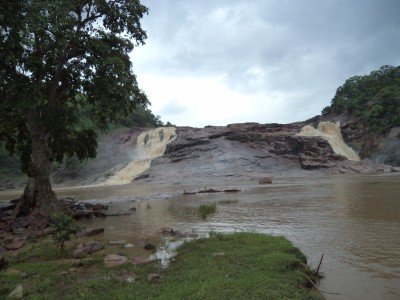
Aar Paar Waterfalls
Some quick example text to build on the card title and make up the bulk of the card's content.
Go somewhere
Chanaka Korata Barrage
Some quick example text to build on the card title and make up the bulk of the card's content.
Go somewhere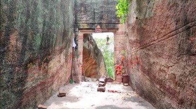
Gandhari Khilla
Some quick example text to build on the card title and make up the bulk of the card's content.
Go somewhere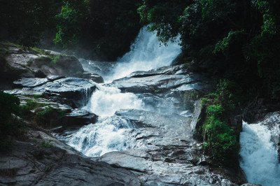
Gayatri Water Falls
Some quick example text to build on the card title and make up the bulk of the card's content.
Go somewhere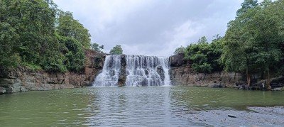
Gundala Water Falls
Some quick example text to build on the card title and make up the bulk of the card's content.
Go somewhere
Jainath Temple
Some quick example text to build on the card title and make up the bulk of the card's content.
Go somewhere
Kadam Dam
Some quick example text to build on the card title and make up the bulk of the card's content.
Go somewhere
Kala Ashram Adilabad
Some quick example text to build on the card title and make up the bulk of the card's content.
Go somewhere
Kanakai Water Falls
Some quick example text to build on the card title and make up the bulk of the card's content.
Go somewhere
Kawal Wildlife Sanctuary
Some quick example text to build on the card title and make up the bulk of the card's content.
Go somewhere
Khandala Molal Gutta Waterfalls
Some quick example text to build on the card title and make up the bulk of the card's content.
Go somewhere
Koratikal Waterfall
Some quick example text to build on the card title and make up the bulk of the card's content.
Go somewhere
Kundai Waterfalls
Some quick example text to build on the card title and make up the bulk of the card's content.
Go somewhere
Kuntala Waterfalls
Some quick example text to build on the card title and make up the bulk of the card's content.
Go somewhere
Mahatma Gandhi Park
Some quick example text to build on the card title and make up the bulk of the card's content.
Go somewhere
Mitte Waterfalls
Some quick example text to build on the card title and make up the bulk of the card's content.
Go somewherein Other Cities