

How To Reach Khursel Ghati
How to Reach
By Train: The nearest railhead is Jagdalpur Railway Station (JAG) (approx. 140 KMS) or Dantewada Railway Station (approx. 110 KMS). From there, hire a vehicle to Narayanpur.
By Road: Khursel Ghati is about 40 KMS northwest of Narayanpur city. The route involves traveling via Koylibeda or a road near Gudabheda. The road quality can be challenging in the last few kilometers, requiring a sturdy vehicle or a high-clearance jeep. A private taxi from Narayanpur is the most convenient option, taking about 1. 5 to 2 hours.
By Local Transport: Shared jeeps or local transport buses run from Narayanpur toward the Koylibeda block, dropping passengers at villages like Gudabheda or Khursel village. The final 9 km trek to the waterfall from Gudabheda must be completed on foot or by a local, specialized transport arrangement.
Narayanpur Itineray And Cost:-
Other Places In Narayanpur :-
Other States In India :-
Information about New and Updated Locations() of Chhattisgarh Has Been Added :-
Card subtitle
Note:-
Information provided here in good Faith and for reference only.
Near Places

Abujhmarh
Some quick example text to build on the card title and make up the bulk of the card's content.
Go somewhere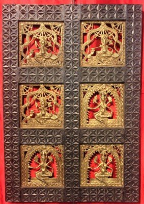
Dhokra Bell Metal Handicraft Centre
Some quick example text to build on the card title and make up the bulk of the card's content.
Go somewhere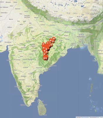
Handawada Waterfall
Some quick example text to build on the card title and make up the bulk of the card's content.
Go somewhere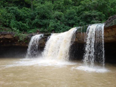
Kachchapal Waterfall
Some quick example text to build on the card title and make up the bulk of the card's content.
Go somewhere
Khursel Ghati
Some quick example text to build on the card title and make up the bulk of the card's content.
Go somewhere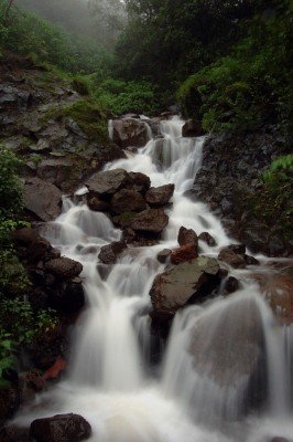
Khursel Waterfall
Some quick example text to build on the card title and make up the bulk of the card's content.
Go somewhere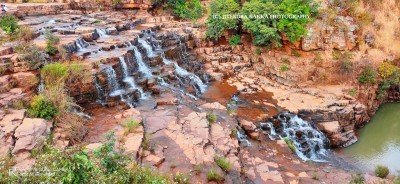
Mata Mavli Mela Ground
Some quick example text to build on the card title and make up the bulk of the card's content.
Go somewhere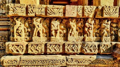
Pahadi Mata Mandir
Some quick example text to build on the card title and make up the bulk of the card's content.
Go somewhere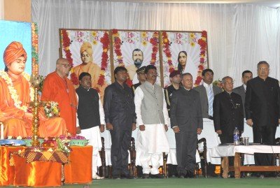
Ramkrishna Mission Ashram
Some quick example text to build on the card title and make up the bulk of the card's content.
Go somewhere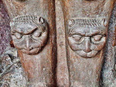
Statue of Lord Shiva
Some quick example text to build on the card title and make up the bulk of the card's content.
Go somewhere