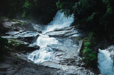
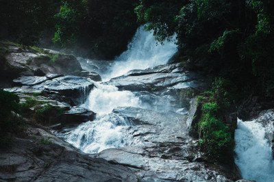
How To Reach Kuntala Waterfalls
How to Reach
By Train: Adilabad Station is 58 KMS away. Many tourists also use Nirmal as a base, which is about 43 KMS from the waterfalls.
By Road: Well-connected by the National Highway 44. Take a diversion at Neredigonda village. The last 12 KMS is a beautiful forest road.
By Local Transport: Plenty of shared autos and private jeeps are available from Neredigonda to the waterfall entrance. TSRTC buses stop at the Neredigonda junction.
Adilabad Itineray And Cost:-
Kuntala Waterfalls Tourism:-
Other Places In Adilabad :-
Other States In India :-
Information about New and Updated Locations() of Telangana Has Been Added :-
Card subtitle
Note:-
Information provided here in good Faith and for reference only.
Near Places
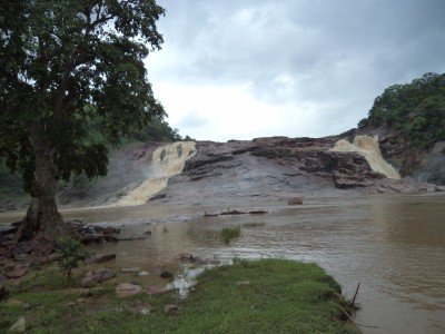
Aar Paar Waterfalls
Some quick example text to build on the card title and make up the bulk of the card's content.
Go somewhere
Chanaka Korata Barrage
Some quick example text to build on the card title and make up the bulk of the card's content.
Go somewhere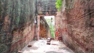
Gandhari Khilla
Some quick example text to build on the card title and make up the bulk of the card's content.
Go somewhere
Gayatri Water Falls
Some quick example text to build on the card title and make up the bulk of the card's content.
Go somewhere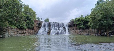
Gundala Water Falls
Some quick example text to build on the card title and make up the bulk of the card's content.
Go somewhere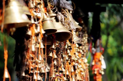
Jainath Temple
Some quick example text to build on the card title and make up the bulk of the card's content.
Go somewhere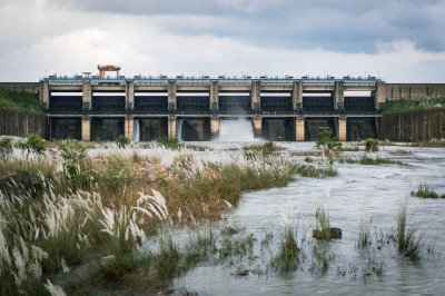
Kadam Dam
Some quick example text to build on the card title and make up the bulk of the card's content.
Go somewhere
Kala Ashram Adilabad
Some quick example text to build on the card title and make up the bulk of the card's content.
Go somewhere
Kanakai Water Falls
Some quick example text to build on the card title and make up the bulk of the card's content.
Go somewhere
Kawal Wildlife Sanctuary
Some quick example text to build on the card title and make up the bulk of the card's content.
Go somewhere
Khandala Molal Gutta Waterfalls
Some quick example text to build on the card title and make up the bulk of the card's content.
Go somewhere
Koratikal Waterfall
Some quick example text to build on the card title and make up the bulk of the card's content.
Go somewhere
Kundai Waterfalls
Some quick example text to build on the card title and make up the bulk of the card's content.
Go somewhere
Kuntala Waterfalls
Some quick example text to build on the card title and make up the bulk of the card's content.
Go somewhere
Mahatma Gandhi Park
Some quick example text to build on the card title and make up the bulk of the card's content.
Go somewhere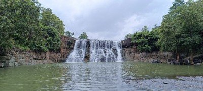
Mitte Waterfalls
Some quick example text to build on the card title and make up the bulk of the card's content.
Go somewhere