


How To Reach Samsing
How to Reach
Topic Heading:
Aerial Entry Point and Private Taxi Requirement: Samsing is about 95 KMS away. The journey requires hiring a dedicated private taxi from the airport stand or pre-booking a service, as there is no direct public bus. The drive takes approximately 3. 5 to 4 hours, traversing the Dooars plains before a gentle ascent near Chalsa.
By Train: The most important railway station is New Jalpaiguri (NJP), situated approximately 85 KMS from Samsing.
Topic Heading:
Major Rail Hub and Convenient Local Rail Station: NJP is connected to all major cities in India. A much closer and highly convenient alternative is the local Malbazar Railway Station, only about 25 KMS away, which is served by many regional trains. From either station, hiring a direct taxi or utilizing shared public jeeps from Malbazar market provides the last-mile connectivity.
By Road: Samsing is well-connected by State Highway, branching off the main National Highway 17 (NH17) at the major junction of Chalsa.
Topic Heading:
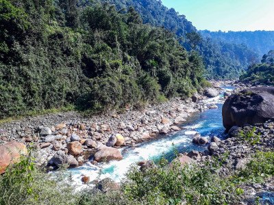
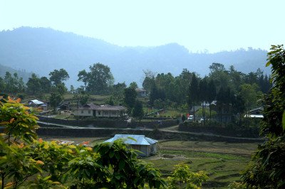
Scenic Drive via Chalsa Junction: The route from Siliguri is via Sevoke, Malbazar, and Chalsa. From Chalsa, a local road climbs gently for about 15 KMS through tea gardens directly to the village. The roads are generally in excellent condition, ensuring a very pleasant drive with continuous scenic beauty.
By Local Transport: Shared jeeps and smaller passenger vans are the primary local transport system, running frequently from the junction town of Chalsa and Malbazar.
Topic Heading:
Affordable Shared Transport Options: These shared vehicles are highly affordable and run on a syndicate basis, taking passengers up to Samsing throughout the day. From the local bus stand in Samsing, you can also hire a local Toto (electric rickshaw) for short distances or to arrange the trip up to Suntalekhola, offering a flexible and local way to travel.
Information about New and Updated Locations(575+) of West Bengal Has Been Added :-
Card subtitle
West BengalDighaKolkataDarjeelingPuruliaKalimpongBishnupurDooarsMalda CityBankura CityShantiniketanMirikShankarpurBakkhaliKurseongLataguriLavaLolegaonMore PlacesNote:-
Information provided here in good Faith and for reference only.
All information and pictures will be updated soon, please keep visiting.
Near Places
Bhutanghat
Some quick example text to build on the card title and make up the bulk of the card's content.
Go somewhere
Bindu
Some quick example text to build on the card title and make up the bulk of the card's content.
Go somewhere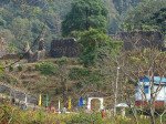
Buxa Fort
Some quick example text to build on the card title and make up the bulk of the card's content.
Go somewhere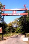
Buxa Tiger Reserve
Some quick example text to build on the card title and make up the bulk of the card's content.
Go somewhere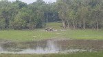
Chapramari Wildlife Sanctuary
Some quick example text to build on the card title and make up the bulk of the card's content.
Go somewhere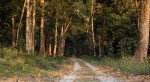
Chilapata Forest
Some quick example text to build on the card title and make up the bulk of the card's content.
Go somewhere
Gorumara National Park
Some quick example text to build on the card title and make up the bulk of the card's content.
Go somewhere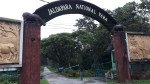
Jaldapara National Park
Some quick example text to build on the card title and make up the bulk of the card's content.
Go somewhere
Jayanti
Some quick example text to build on the card title and make up the bulk of the card's content.
Go somewhere
Jhalong
Some quick example text to build on the card title and make up the bulk of the card's content.
Go somewhere