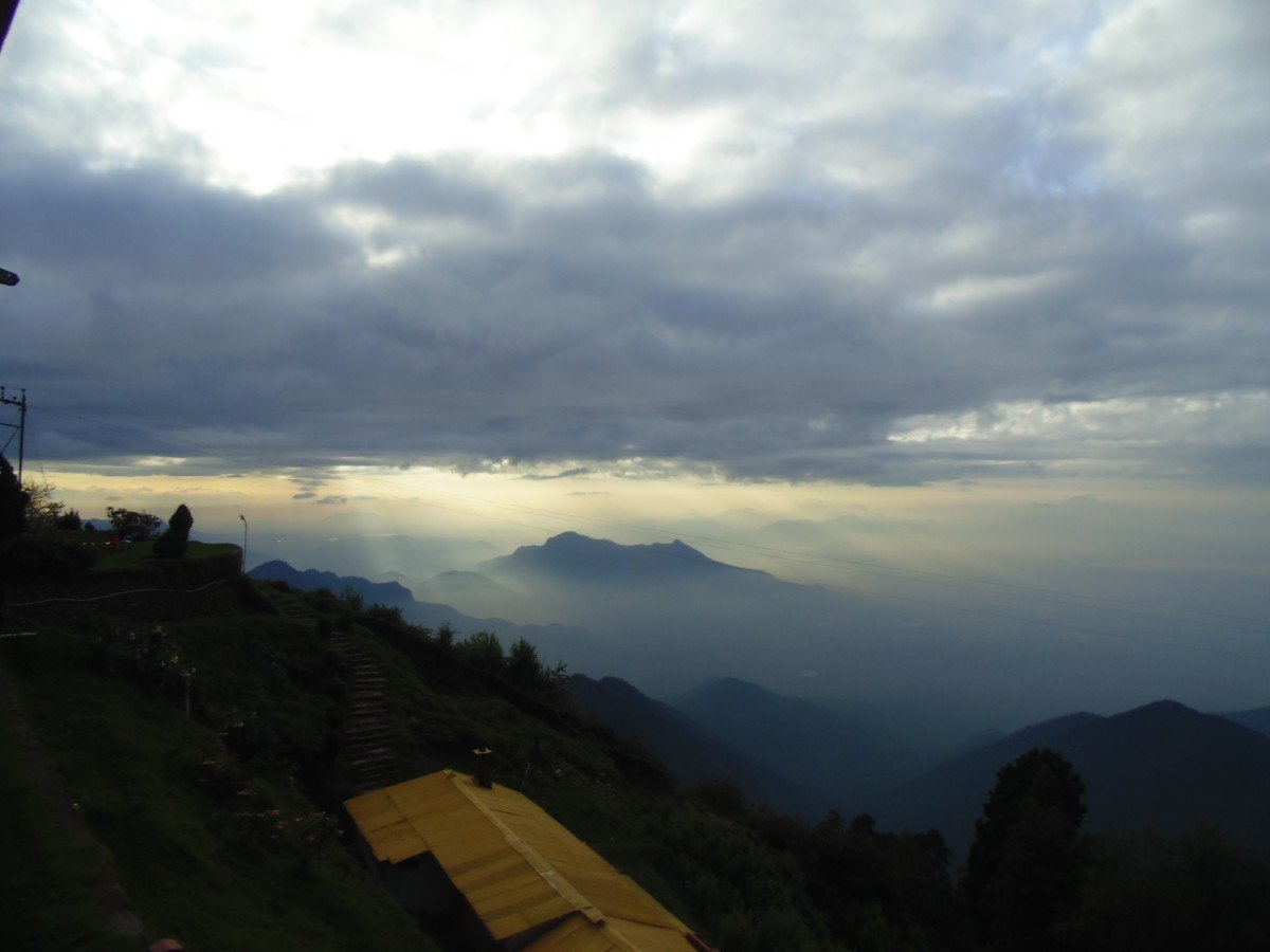
Vembadi Peak
General information
-
Ideal Duration:
3 to 5 Hours (including trek)Place Type:
Mountain Peak / TrekkingEntry Fees:
Forest Department Permission: Since the peak is in a protected forest zone, you may need to obtain a Trekking Permit from the Forest Office in Kodaikanal. The fee is usually 100-200 INR per person.
Guide Fees: It is highly recommended to hi...Forest Department Permission: Since the peak is in a protected forest zone, you may need to obtain a Trekking Permit from the Forest Office in Kodaikanal. The fee is usually 100-200 INR per person.
Guide Fees: It is highly recommended to hire a Local Guide for safety, which can cost between 500-1,000 INR depending on the group size.Timing:
Regular Timings: Best visited between 8:00 AM and 4:00 PM. Trekking after 4:00 PM is dangerous due to low visibility and potential wildlife encounters.
Ideal Visit Time: Early Morning (8:00 AM) is best to avoid the midday heat and ensure th...Regular Timings: Best visited between 8:00 AM and 4:00 PM. Trekking after 4:00 PM is dangerous due to low visibility and potential wildlife encounters.
Ideal Visit Time: Early Morning (8:00 AM) is best to avoid the midday heat and ensure the clearest views before the afternoon mist sets in.Special Events:
Annual Maintenance Rituals: While not a public event, the Technical Maintenance of the TV tower often brings engineers to the peak, and watching them work at such heights is an event in itself for visitors.
Independence Day Trek: Local trekk...Annual Maintenance Rituals: While not a public event, the Technical Maintenance of the TV tower often brings engineers to the peak, and watching them work at such heights is an event in itself for visitors.
Independence Day Trek: Local trekking clubs often organize a Group Summit Climb on national holidays like August 15th to hoist the flag at one of the highest points in the district.Best Photo Spots:
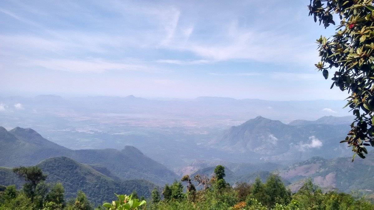
The 360-Degree Sweep: Use your camera's "Panorama" mode to capture the entire horizon. The best shot includes the TV tower on one side and the vast valley on the other.
Golden Hour Glow: If you can time your descent, the Late Afternoon Sun ...The 360-Degree Sweep: Use your camera's "Panorama" mode to capture the entire horizon. The best shot includes the TV tower on one side and the vast valley on the other.
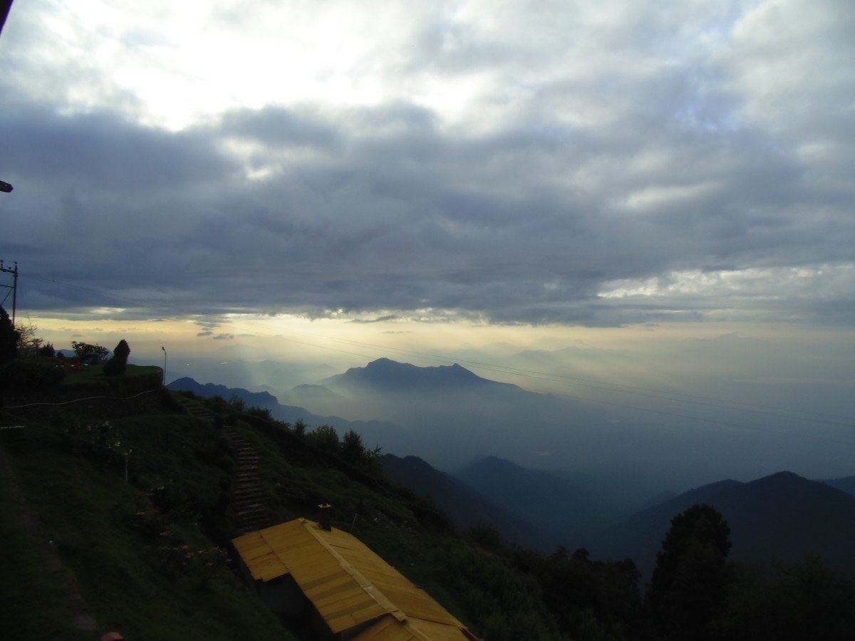
Golden Hour Glow: If you can time your descent, the Late Afternoon Sun (around 4 PM) paints the grass on the slopes in a brilliant golden-orange hue, perfect for "aesthetic" travel photos.
Macro Cloud Shots: When the mist rolls in, try taking close-up shots of dew drops on the grass with the white fog as a soft, ethereal background.Photo Gallery
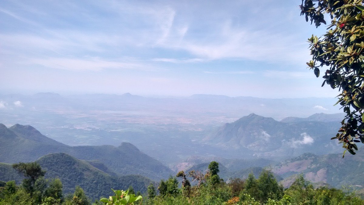
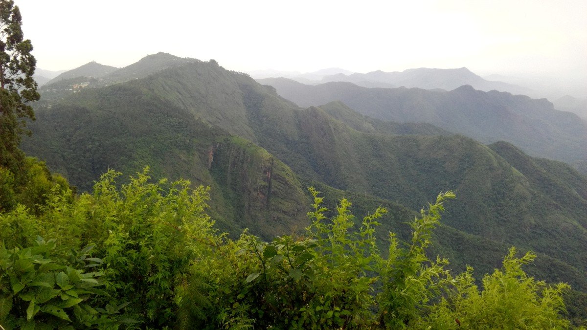
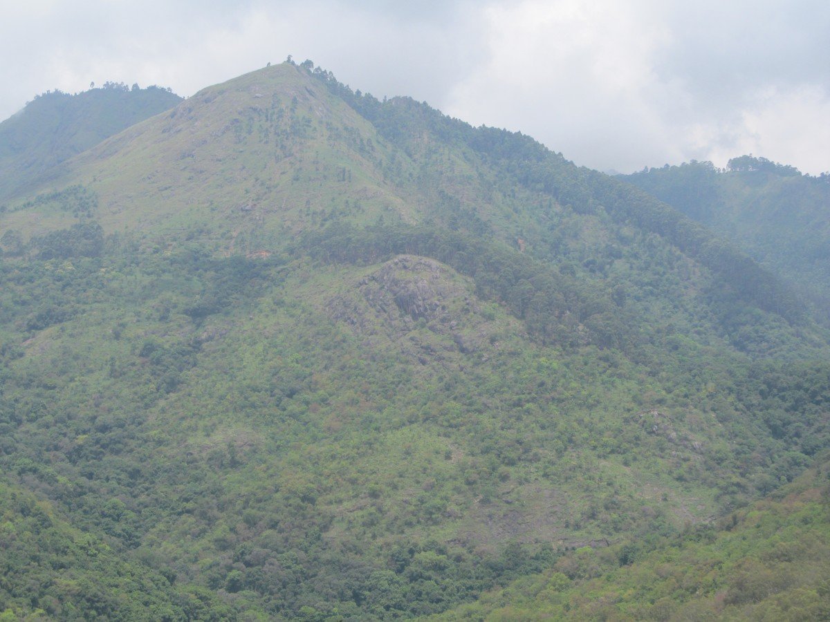
Things To Do
-
High-Altitude Trekking: The primary activity is the steep climb to the summit. It is a moderate-to-difficult trek that tests your stamina and offers a great workout amidst nature.
Cloud Gazing: At this height, you are often above the clouds. Watching them roll over the smaller hills below is a meditative and mesmerizing activity.
Wildlife Spotting: Carry a good pair of binoculars. The slopes of Vembadi are prime territory for the Nilgiri Tahr and Wild Boar.
Summit Meditation: The absolute silence and fresh air make the peak an ideal spot for a short meditation session or a quiet moment of reflection away from the world.
Panoramic Landscape Photography: This is the best place for 360-degree panoramas. Capture the curvature of ...High-Altitude Trekking: The primary activity is the steep climb to the summit. It is a moderate-to-difficult trek that tests your stamina and offers a great workout amidst nature.
Cloud Gazing: At this height, you are often above the clouds. Watching them roll over the smaller hills below is a meditative and mesmerizing activity.
Wildlife Spotting: Carry a good pair of binoculars. The slopes of Vembadi are prime territory for the Nilgiri Tahr and Wild Boar.
Summit Meditation: The absolute silence and fresh air make the peak an ideal spot for a short meditation session or a quiet moment of reflection away from the world.
Panoramic Landscape Photography: This is the best place for 360-degree panoramas. Capture the curvature of the earth and the distant horizon where the hills meet the plains.
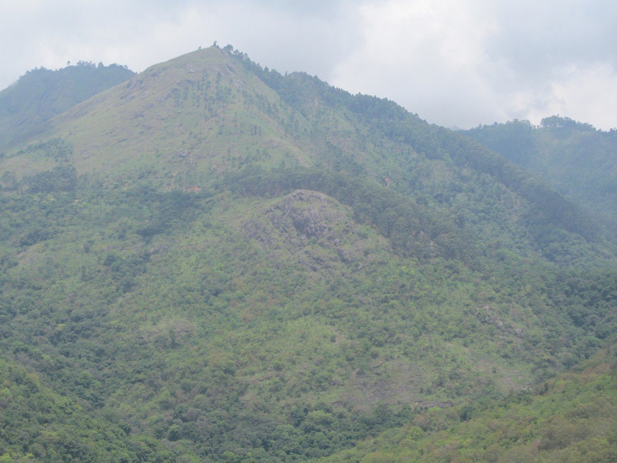
Botany Exploration: Identify the Kurinji flowers (if in season) and the various species of Lichen that cover the rocks at the summit.
Picnic at the Top: While there are no shops, bringing your own sandwiches and coffee to enjoy at the peak is a reward for the climb. Pack out all trash.
Information
-
Why Famous:
Highest Vantage Point: It is famous for being one of the highest accessible points in the region, offering views that even the famous Pillar Rocks cannot match in terms of scale.
The TV Tower Landmark: The peak is synonymous with the Kodaika...Highest Vantage Point: It is famous for being one of the highest accessible points in the region, offering views that even the famous Pillar Rocks cannot match in terms of scale.
The TV Tower Landmark: The peak is synonymous with the Kodaikanal TV Tower, which serves as a navigational beacon for the entire town and a symbol of the peak's elevation. -
Architecture:
Technological Architecture: The most prominent man-made structure is the Kodaikanal TV Tower. It is a tall, lattice-style steel mast that stands several hundred feet high. Its design is functional, built to withstand the high-velocity winds and extreme weather of the summi...Technological Architecture: The most prominent man-made structure is the Kodaikanal TV Tower. It is a tall, lattice-style steel mast that stands several hundred feet high. Its design is functional, built to withstand the high-velocity winds and extreme weather of the summit.
Terrain Dimensions: The trek to the peak covers a vertical gain of about 300 meters from the starting point on the road. The summit area itself is a relatively flat rocky plateau measuring roughly 500 square meters, providing ample space for trekkers to rest and take in the view. -
How To Reach:
By Air: Fly to Madurai and take a cab to Kodaikanal.
By Train: Reach Kodai Road and take a bus/taxi to the town.
By Road: The peak is located off the Berijam Lake Road. You can drive up to a certain point, ...By Air: Fly to Madurai and take a cab to Kodaikanal.
By Train: Reach Kodai Road and take a bus/taxi to the town.
By Road: The peak is located off the Berijam Lake Road. You can drive up to a certain point, then the trek begins.
By Local Transport: Hire a 4x4 Jeep or a powerful taxi from the town center to reach the trekking trailhead. -
Weather and Best Time to Visit:
Winter (December to February): The clearest visibility and the most "mountain-like" experience with freezing morning temperatures.
Post-Monsoon (October to November): The landscape is at its greenest, and the waterfalls in the distance are c...Winter (December to February): The clearest visibility and the most "mountain-like" experience with freezing morning temperatures.
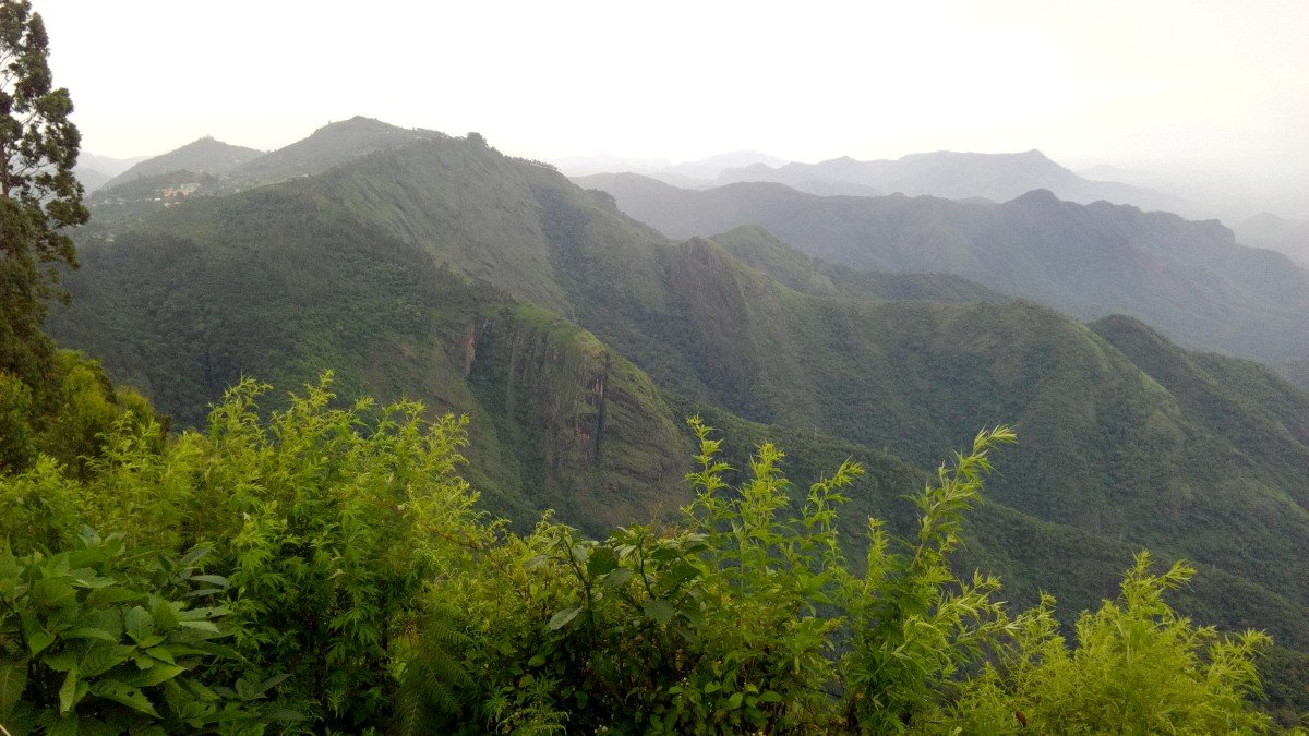
Post-Monsoon (October to November): The landscape is at its greenest, and the waterfalls in the distance are clearly visible from the peak.
Summer (March to May): Good for trekking, but can be hazy. -
Near Tourist Places:
1. Berijam Lake (12 KM), 2. Silent Valley View (8 KM), 3. Caps Fly Point (9 KM), 4. Moir Point (6 KM), 5. Pillar Rocks (8 KM), 6. Guna Caves (9 KM), 7. Pine Forest (7 KM), 8. Kodaikanal Lake (7 KM), 9. Upper Lake View (6 KM), 10. Solar Observatory (5 KM).
Tourism Tips
-
Health & Safety: The altitude is over 2,400 meters; if you feel dizzy, stop and hydrate. The weather can change from sunny to a thunderstorm in minutes.
Packing: Wear layered clothing (it's very windy at the top) and sturdy hiking boots. ...Health & Safety: The altitude is over 2,400 meters; if you feel dizzy, stop and hydrate. The weather can change from sunny to a thunderstorm in minutes.
Packing: Wear layered clothing (it's very windy at the top) and sturdy hiking boots. Carry a basic First Aid Kit.
Cash & ATM: There are zero facilities at the peak. Ensure you have cash for your guide and transport before leaving town.
Connectivity: Surprisingly, mobile signal (especially Jio/Airtel) is often strong at the summit because of the nearby TV tower.
Reviews
FAQs
Kodaikanal Itineray And Cost:-
Other Places In Kodaikanal :-
Other States In India :-
Information about New and Updated Locations() of Tamil Nadu Has Been Added :-
Card subtitle
Note:-
Information provided here in good Faith and for reference only.
Near Places
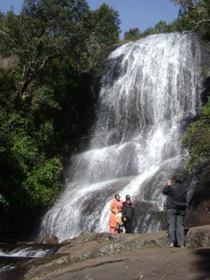
Bear Shola Falls
Some quick example text to build on the card title and make up the bulk of the card's content.
Go somewhere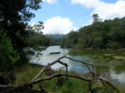
Berijam Lake
Some quick example text to build on the card title and make up the bulk of the card's content.
Go somewhere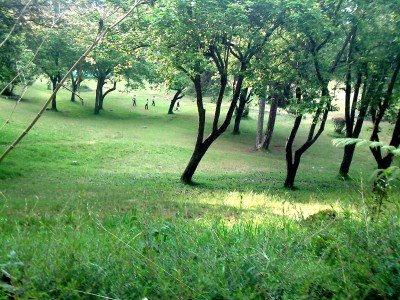
Bryant Park
Some quick example text to build on the card title and make up the bulk of the card's content.
Go somewhere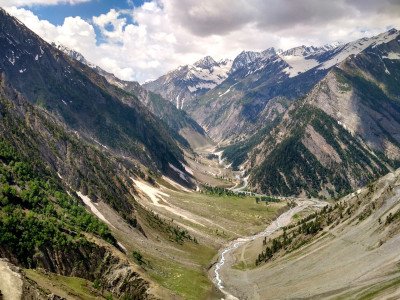
Caps Fly Valley View
Some quick example text to build on the card title and make up the bulk of the card's content.
Go somewhere
Chettiar Park
Some quick example text to build on the card title and make up the bulk of the card's content.
Go somewhere
Christ the King Church
Some quick example text to build on the card title and make up the bulk of the card's content.
Go somewhere
Coaker's Walk
Some quick example text to build on the card title and make up the bulk of the card's content.
Go somewhere
Dolphin Nose Viewpoint
Some quick example text to build on the card title and make up the bulk of the card's content.
Go somewhere
Dolphin's Nose
Some quick example text to build on the card title and make up the bulk of the card's content.
Go somewhere
Fairy Falls
Some quick example text to build on the card title and make up the bulk of the card's content.
Go somewhere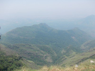
Green Valley View
Some quick example text to build on the card title and make up the bulk of the card's content.
Go somewhere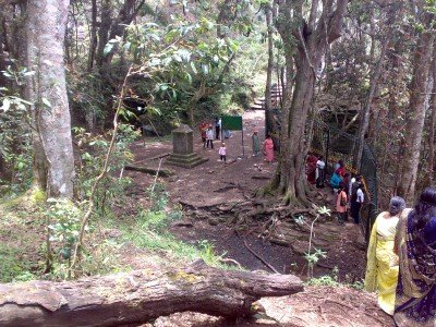
Guna Cave
Some quick example text to build on the card title and make up the bulk of the card's content.
Go somewhere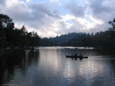
Kodaikanal Lake
Some quick example text to build on the card title and make up the bulk of the card's content.
Go somewhere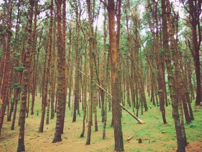
Kodaikanal Pine Forest
Some quick example text to build on the card title and make up the bulk of the card's content.
Go somewhere
Kukkal Caves
Some quick example text to build on the card title and make up the bulk of the card's content.
Go somewhere
Kurinji Andavar Temple
Some quick example text to build on the card title and make up the bulk of the card's content.
Go somewherein Other Cities