How To Reach Badam Fort
How to Reach
Via Ranchi or Gaya:
Nearest Airports: The nearest major airport is Birsa Munda Airport (IXR) in Ranchi, approximately 135-145 KMS away. A secondary, but farther, option is Gaya International Airport (GAY) in Gaya, Bihar, about 150-160 KMS away. From either airport, one must hire a pre-booked taxi or use ride-sharing services for the long road journey to Hazaribagh city, and then take local transport to the fort. The drive from Ranchi takes approximately 3 to 4 hours.
By Train:
Via Hazaribagh Town or Koderma:
Key Railheads: The most convenient railway station is Hazaribagh Town Railway Station (HZD), which is approximately 40-45 KMS from the fort. It has good connectivity to major cities. Another option is Koderma Junction Railway Station (KQR), approximately 70-80 KMS away, which is a major station on the Howrah-Gaya-Delhi line. From the station, pre-paid taxis or local transport (taxis, shared jeeps) must be hired to reach Badam Fort. The journey by road from Hazaribagh Town station takes about 1. 5 to 2 hours.
By Road:
Well-Connected National Highway:
Road Connectivity: Hazaribagh is well-connected by National Highway 33 (NH33) and other state highways. The fort is located off the main highway, near the village of Badam and the Barkagaon area. From Hazaribagh city, the best way to reach is by hiring a private taxi or a local cab. The road condition for the main part is generally good, but the last few kilometers into the village and the fort site can be on rough, unpaved village roads, requiring careful driving.
By Local Transport:
Taxi or Shared Jeep:
Last Mile Travel: From Hazaribagh City Center, the most reliable transport is a hired private taxi for a round trip, as local transport is infrequent, especially near the fort. Alternatively, shared jeeps or buses ply the route towards Barkagaon, but you will need to alight at the nearest point (e. g. , Badam village or a junction) and hire a local auto-rickshaw or walk the final 2-3 KMS to the fort. Negotiate the fare beforehand.
Hazaribagh Itineray And Cost:-
Other Places In Hazaribagh :-
Other States In India :-
Information about New and Updated Locations() of Jharkhand Has Been Added :-
Card subtitle
Note:-
Information provided here in good Faith and for reference only.
Near Places
Badam Fort
Some quick example text to build on the card title and make up the bulk of the card's content.
Go somewhere
Bhadrakali Temple
Some quick example text to build on the card title and make up the bulk of the card's content.
Go somewhere
Canary Hill / Canary Hill Viewing Point
Some quick example text to build on the card title and make up the bulk of the card's content.
Go somewhere
Canary Hill Hazaribagh
Some quick example text to build on the card title and make up the bulk of the card's content.
Go somewhere
Chadwa Dam
Some quick example text to build on the card title and make up the bulk of the card's content.
Go somewhere
Chandro Waterfall
Some quick example text to build on the card title and make up the bulk of the card's content.
Go somewhere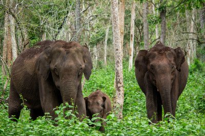
Chatra Forest Range
Some quick example text to build on the card title and make up the bulk of the card's content.
Go somewhere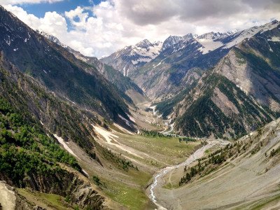
Galwaan Valley
Some quick example text to build on the card title and make up the bulk of the card's content.
Go somewhere
Hazaribagh Club
Some quick example text to build on the card title and make up the bulk of the card's content.
Go somewhere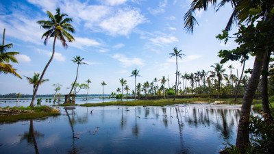
Hazaribagh Lake
Some quick example text to build on the card title and make up the bulk of the card's content.
Go somewhere
Hazaribagh National Park / Wildlife Sanctuary
Some quick example text to build on the card title and make up the bulk of the card's content.
Go somewhere
Holy Cross Church, Korrah
Some quick example text to build on the card title and make up the bulk of the card's content.
Go somewhere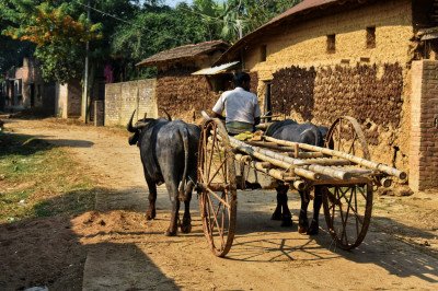
Isko Village Cave Paintings
Some quick example text to build on the card title and make up the bulk of the card's content.
Go somewhere
Jamunia Dam
Some quick example text to build on the card title and make up the bulk of the card's content.
Go somewhere
Konar Dam
Some quick example text to build on the card title and make up the bulk of the card's content.
Go somewhere
Korrah
Some quick example text to build on the card title and make up the bulk of the card's content.
Go somewhere